This hike suggests not going around the glacier, but the Tour glacier. Take advantage of it while the glacier is still easily accessible, because it is melting visibly!
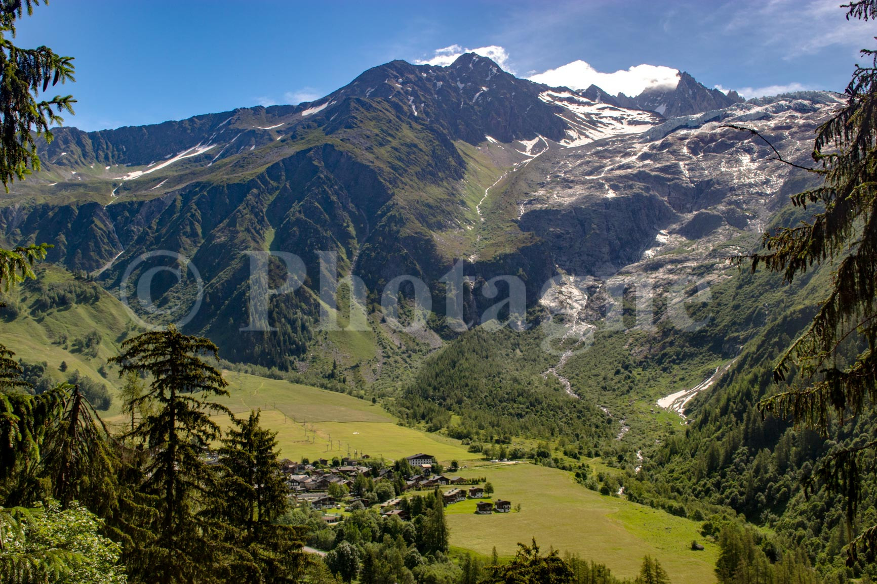
From Montroc station, go up the pretty path which passes through the forest on the side. After a few kilometers, we arrive at the village of Le Tour. At the exit, cross the large meadow towards the bottom of the valley (the path is poorly marked).
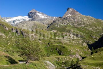
You then have to climb very steeply at the bottom of the slopes. The path has the merit of existing but it is really not big. We finally arrive on the moraine at the place called Window du Tour.
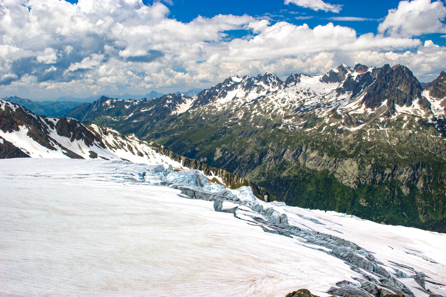
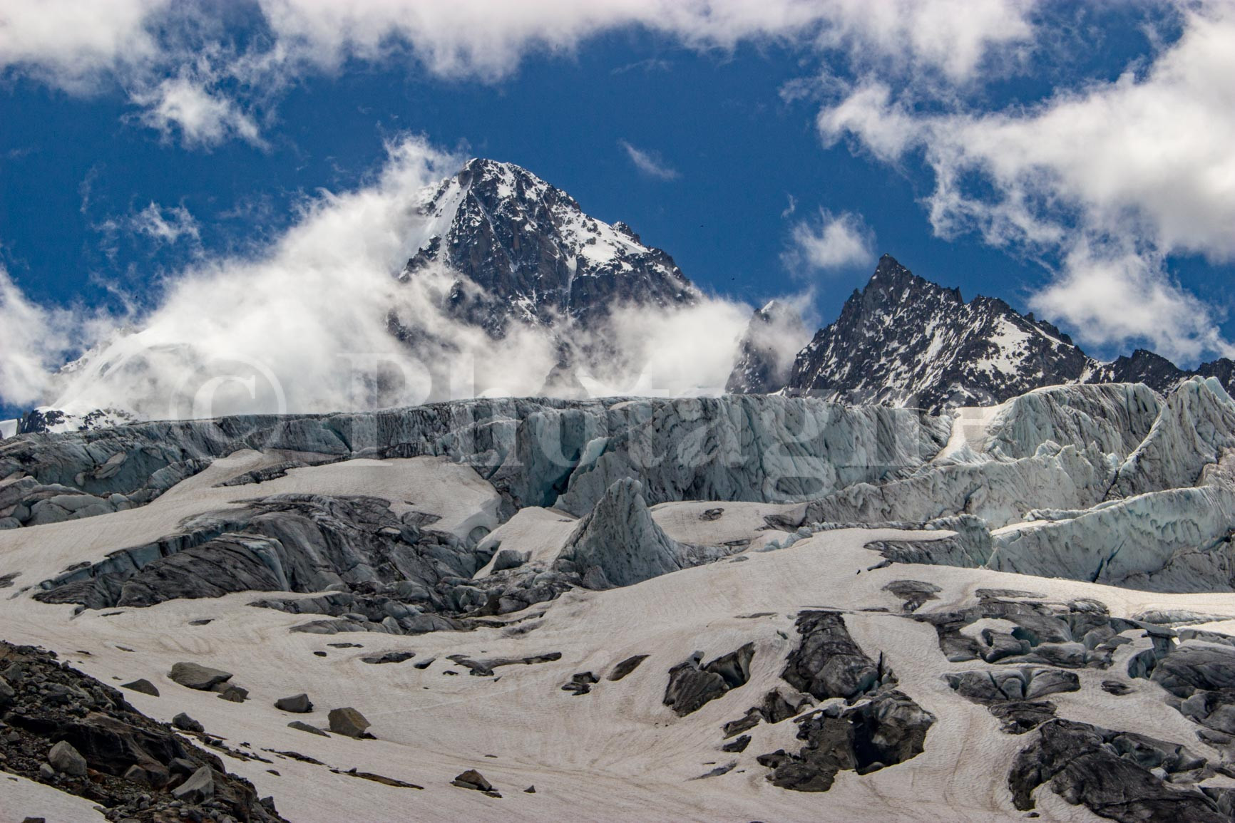
The rest of the path is simple: you just have to go up the moraine to the Albert I refuge, which you can see at the top. It seems really close but there are still five hundred meters of elevation to go! As you get closer to the glacier, you begin to feel the frigid air of the high altitude.
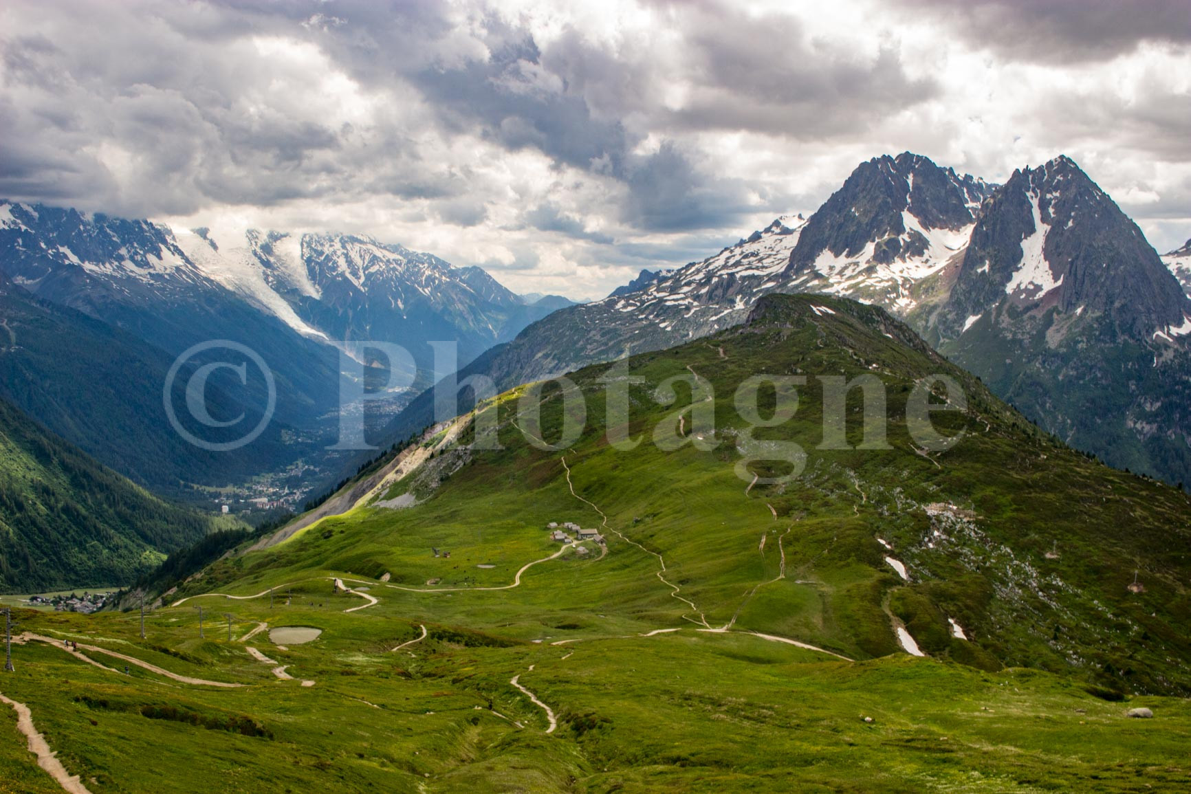
The refuge makes a beautiful place to stop for a picnic, with views of the glacier on all sides. To return, you must first go down two hundred meters before taking a path on the mountainside on the right. This takes us to the friendly Col de Balme refuge. The landscape is made up of large mountain pastures, it's nice but it's not worth the view of the glacier.
Then follow the Mont-Blanc tour to the Col des Posettes. From there, take a path which first descends towards a cable car, then which descends slowly into the forest before reaching Le Buet and its train stop.

0 Comments