Here's a two-day bivouac itinerary at the tip of Cap Corse, which partly follows the Cap Corse customs officers' path. Half of the hike follows the coastline, while the second day allows you to explore the interior. This part of Corsica is definitely much wilder than the highway that the GR 20 has become, I highly recommend it... Heading for Corsica by bivouac!
The Cap Corse coastal path
+ 150 m / – 100 m 14km
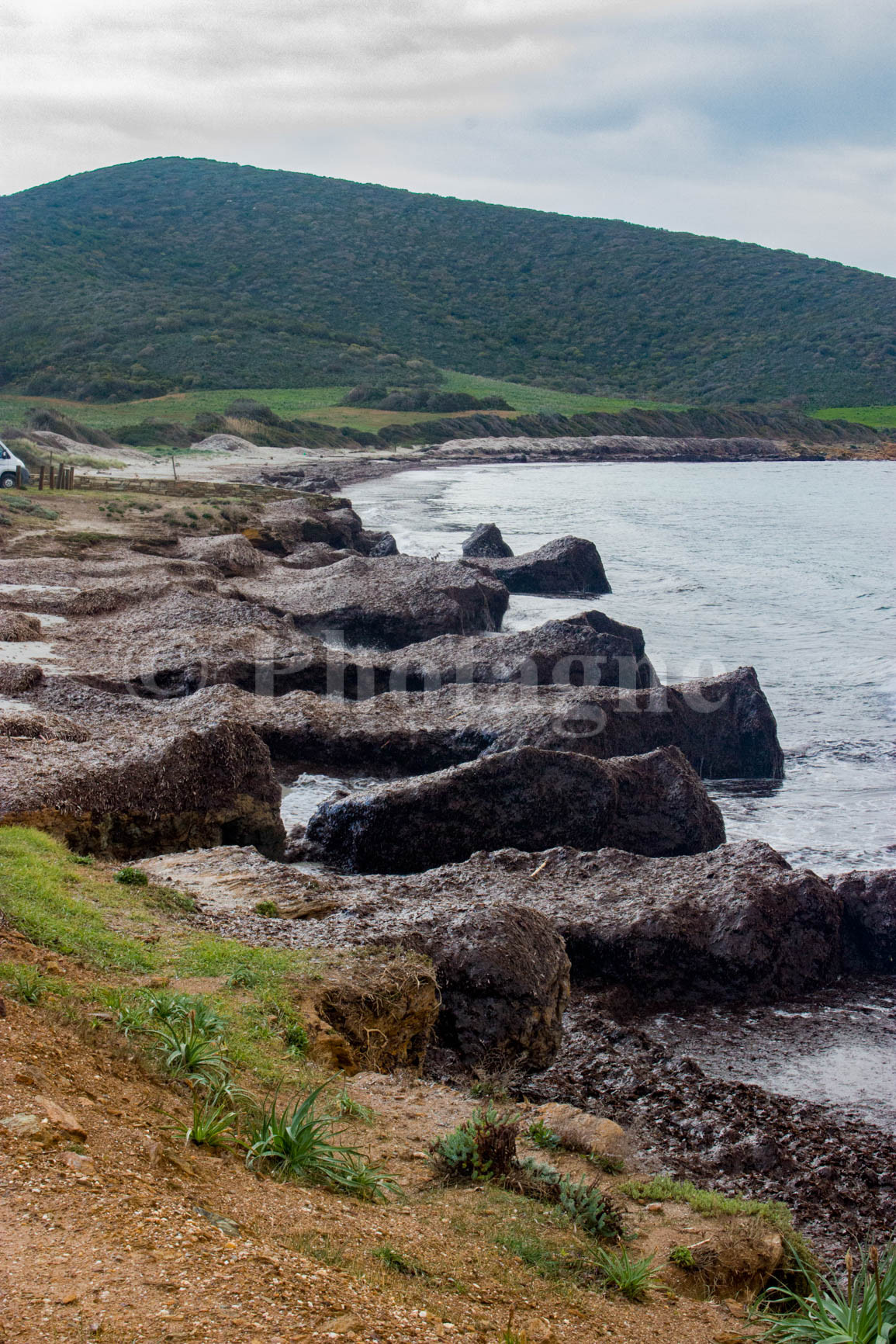
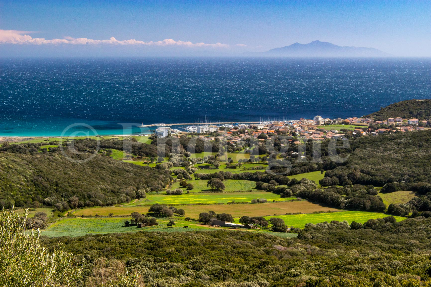
The start of the hike is located in Macinaggio. The village is nice but uninteresting, so we will quickly leave it following the coastal path. When I passed there at the beginning of spring, the beaches were invaded by real cliffs of posidonia. Very beautiful but not very inviting for swimming!
The path is really very beautiful, it passes right in the middle of the Corsican scrub and what's more it is deserted at the beginning of April. Looking at the vegetation and the little shade, I wouldn't recommend it for the summer...
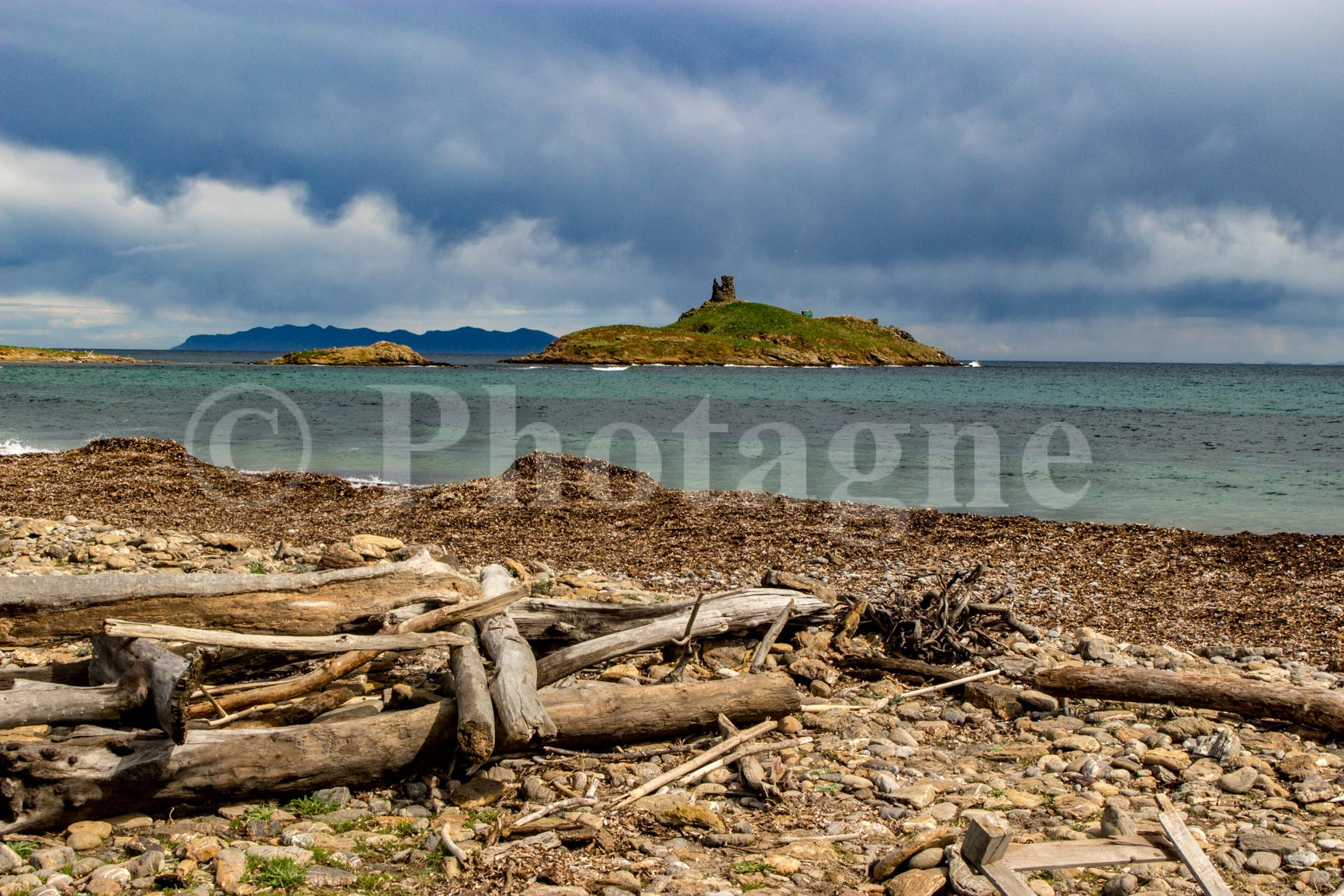
We quickly arrive at the Santa Maria chapel in the middle of the maquis. Not far from there is the tower of the same name. As sea levels have risen since its construction, it now has its feet in the water. The place, with its deserted beach and 4th century chapel as the only visible building, is simply superb. We would happily stay there for the night but it is a protected area and bivouac is prohibited.
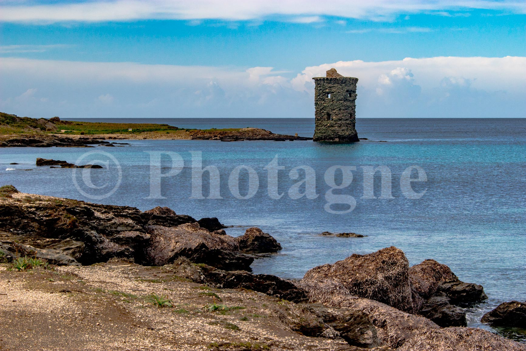
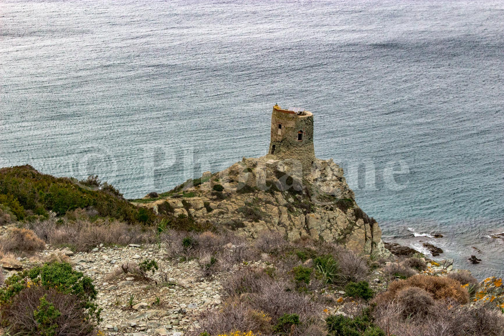
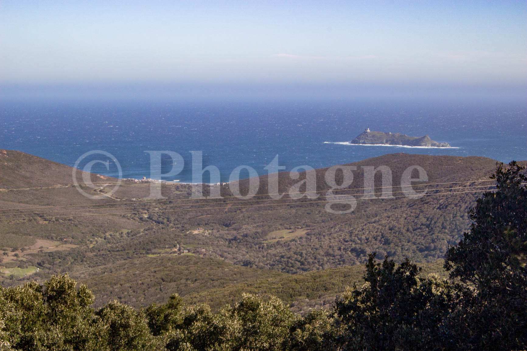
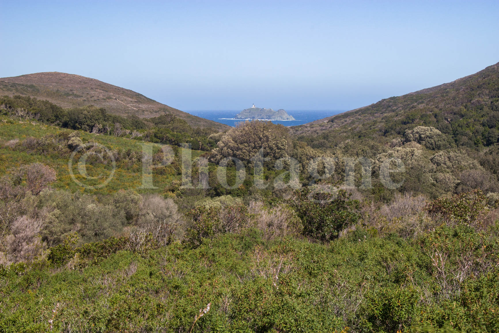
After the Santa Maria harbor, the path passes a few more beaches before climbing towards the Agnello point. At the point itself, it is possible to climb the Agnello tower. This offers a beautiful view of this rocky, windswept landscape.
The trail then passes through Barcaggio, a pretty village located in the far north of Cap Corse. You can enjoy a beer at the friendly village bar. Then, head back on the road for the last part of the first day.
After the village, continue along the coastal path and turn inland at Arena. You leave the protected area and can therefore pitch your tent almost anywhere as long as you don't disturb anyone. Finally, go up the Granaggiolo stream near which you can pitch your bivouac (as usual, I use my Decathlon tent which has the advantage of being cheap even if you can do lighter for two people). Considering the number of cows in the area, I strongly recommend boiling the stream water before drinking it...
Inland
+ 600 m / – 600 m 15km
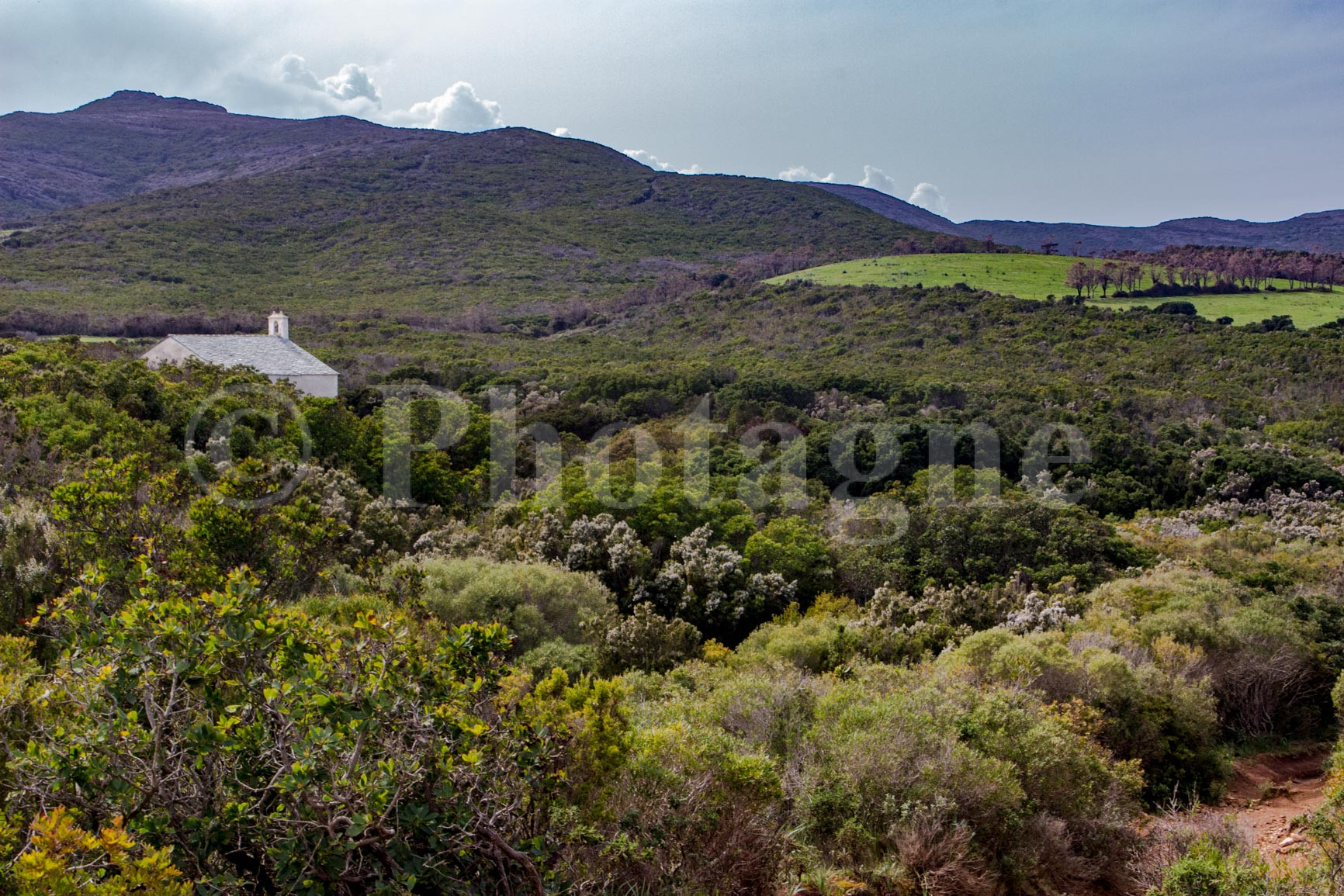
The following day, go up the Granaggiolo stream to arrive at the village of the same name. We begin to appreciate Corsica from the inside in all its splendor: a magnificent landscape of maquis where human presence is rare. Don't miss the visit to the pretty Saint-André church near the trail.
After the village, follow the road for a while to arrive at Col Saint-Nicolas. From there, go back down to the next valley, first following a track. Cross this pretty Mediterranean landscape to the Sant'Erasmo chapel. In spring, the mix between the soft green grass and the scrub vegetation creates a very special atmosphere!
After the chapel, return to the road through some sheepfolds. Follow it for a few kilometers before finding a path that descends straight to Macinaggio. A final swim is a must after working up a sweat in the Corsican scrubland!
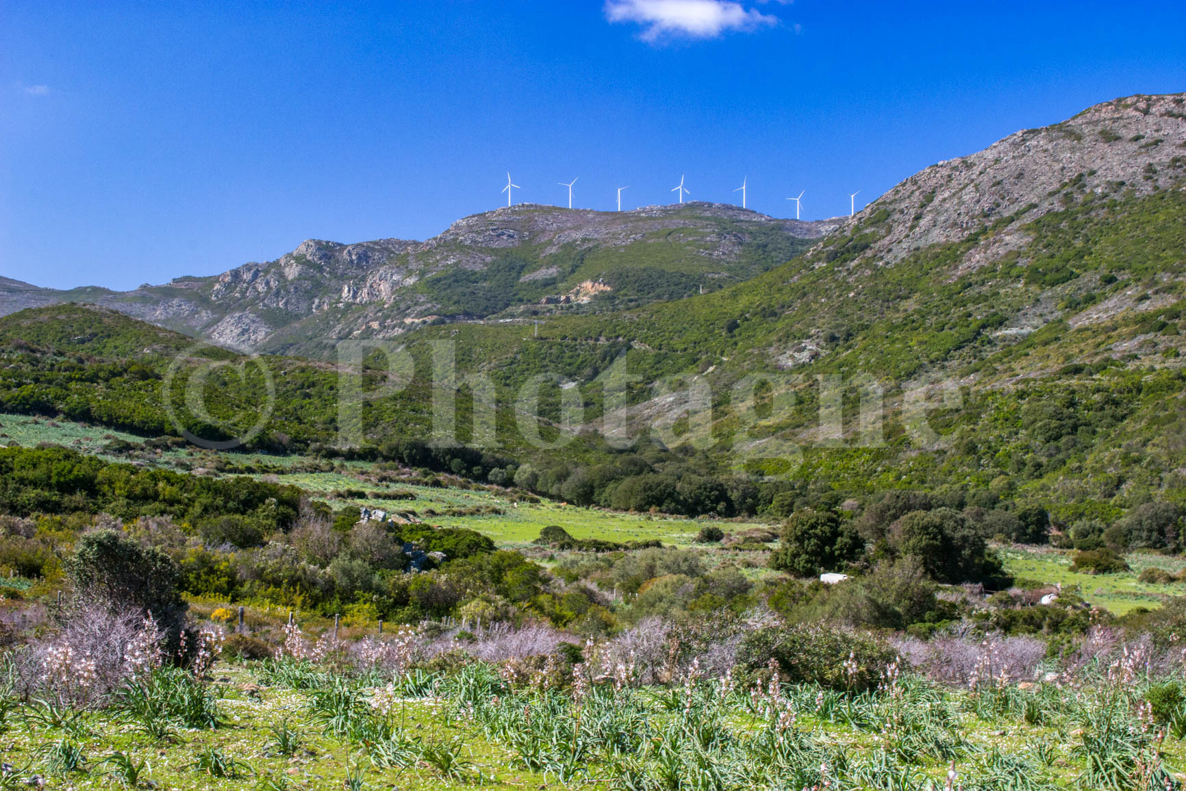
NB: Due to lack of time, I followed the shortest route to return to Macinaggio on the second day. However, another entirely possible option is to follow the ridge path which passes among the wind turbines from the Serra pass. If you have traveled this route, do not hesitate to indicate it in the comments!
If you liked the landscape photographs on this page, please take a look at the section Pictures. For example, you can order a mountain poster of my photos, which is a good way to support me ;).
0 Comments