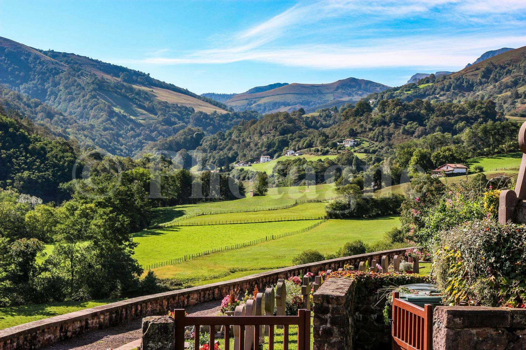
Here is a description of a two-day hike along a mid-mountain ridge in the heart of the Basque Country. The starting point is the village of Bidarray, accessible by TER train from Bayonne or Biarritz. Upon exiting the train, cross the "Pont d'Enfer" (Hell's Bridge) and walk up to the village itself. From the church, there is a lovely view of the ridges you are about to climb. Then follow the GR10 trail, which ascends steadily to the summit of Pic d'Iparla at 1044m.
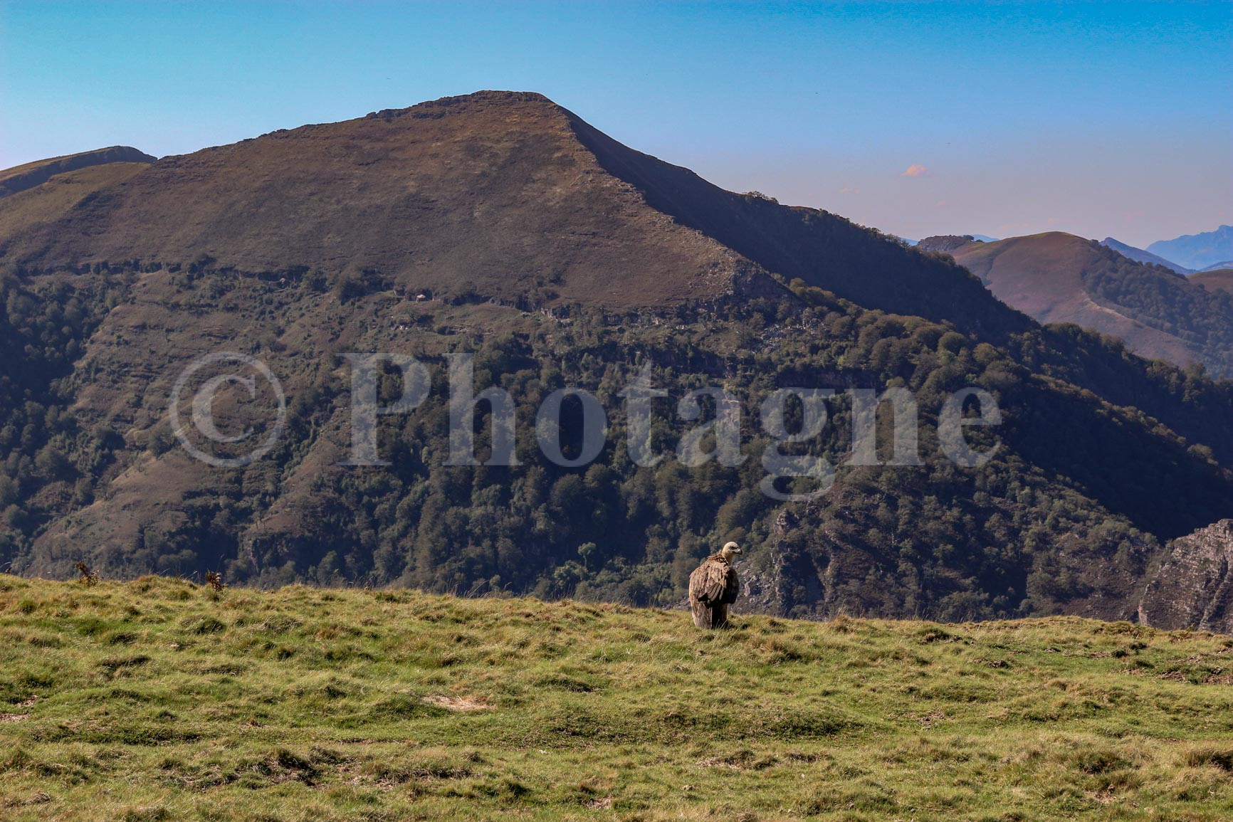
Not far from the summit, a fearless vulture was calmly observing the passersby! It must have had a feast recently: a well-fed vulture is usually so heavy that it becomes unable to fly. To learn more, you can read Hulot.
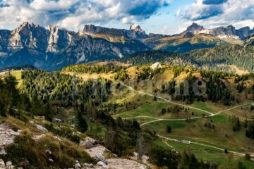
At Iparla peak, the path follows the ridge for a few kilometers. This is then the opportunity to have a clear view over a good part of the Pyrenees.
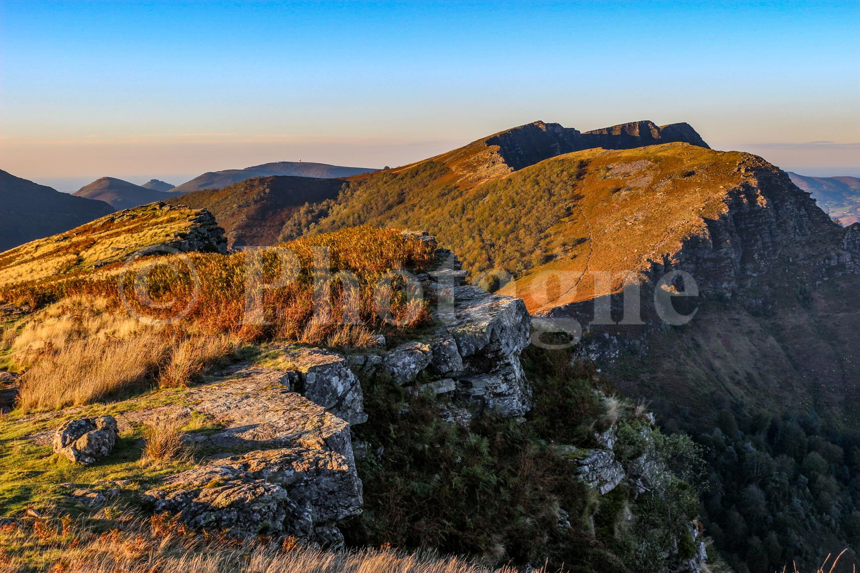
The GR then descends to the Harrieta pass, an ideal spot for a bivouac in a tent (as usual I set off with my Decathlon two-person tentThe photo on the left shows the pass hidden by the rocks. There's a spring a little further on, on the Spanish side. You can also take a short detour to the Astate peak, where this photo was taken. We were lucky enough to have beautiful weather that evening. And as a bonus, we found a porcini mushroom to cook along the way!
The next day, we descended via the path that starts from the Harrieta pass. After a peaceful day through rural landscapes, we finally reached the village of Saint-Martin d'Arrossa, which is on the train line. I have wonderful memories of this place because we arrived right in the middle of a Basque festival to which the locals joyfully invited us. Their enthusiasm in sharing their customs and traditional dishes warmed our hearts!


If you enjoyed the landscape photographs on this page, feel free to visit the section Pictures. For example, you can order a mountain poster of my photos, which is a good way to support me ;).
0 Comments