For me, this is one of the most beautiful hikes you can do near Briançon. An enchanting village, magnificent alpine pastures, a summit with a panoramic view: what more could you ask for?
If you like the landscape photographs on this page, feel free to take a look at the section Pictures. For example, you can order a mountain poster of my photos, which is a good way to support me ;).
Climb through the Ayes Valley
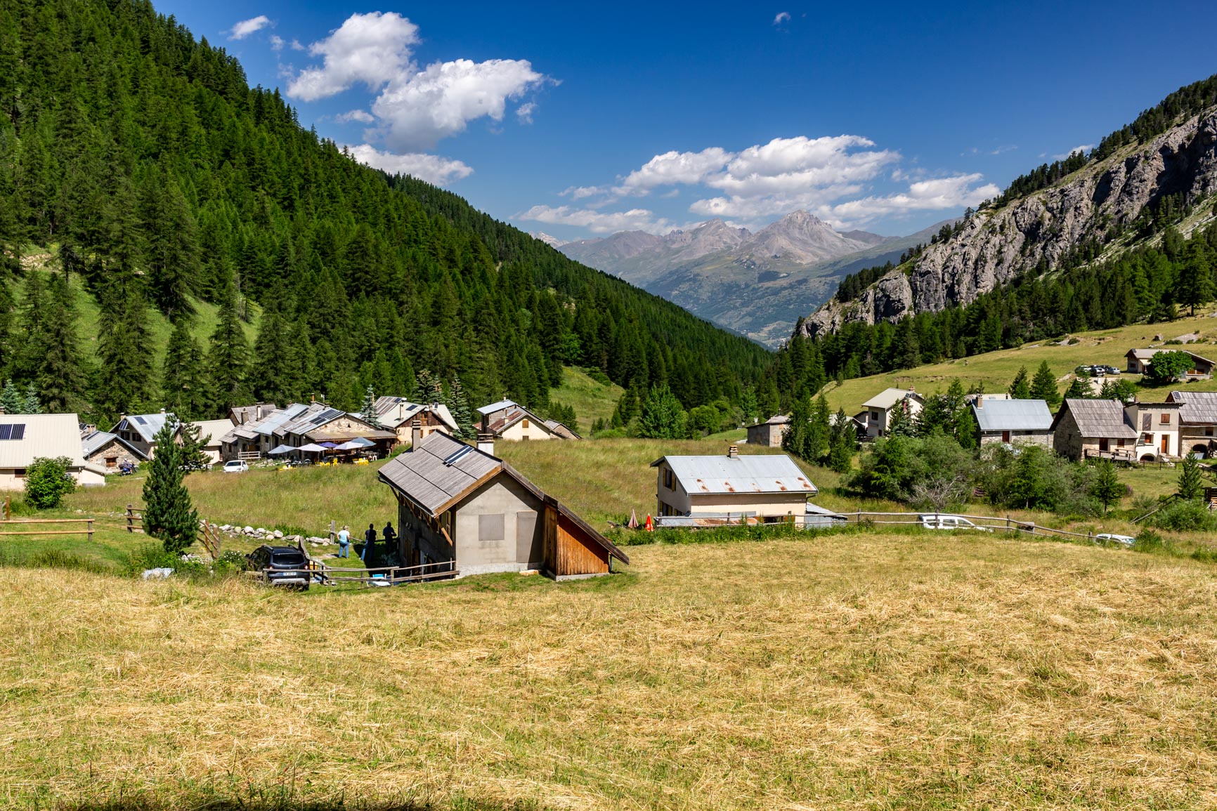
We begin this hike from the Chalets des Ayes, a charming group of chalets mainly inhabited during the summer. For those with a sweet tooth, the blueberry pie at the inn is well worth trying… We then ascend a lovely path through sparse woods.
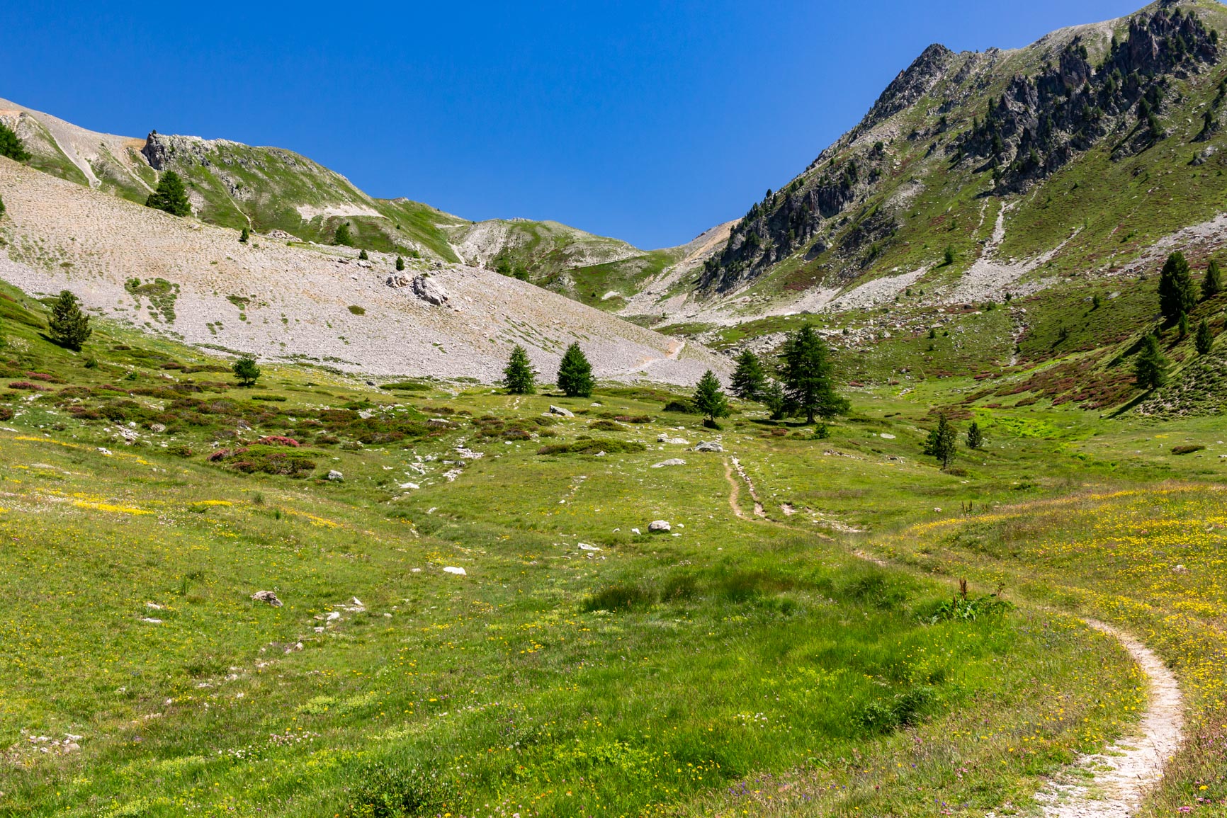
The landscape then transforms into alpine pastures, offering a good view of the Ayes valley itself. The path climbs gently and without any difficulty towards the pass in this bucolic valley.
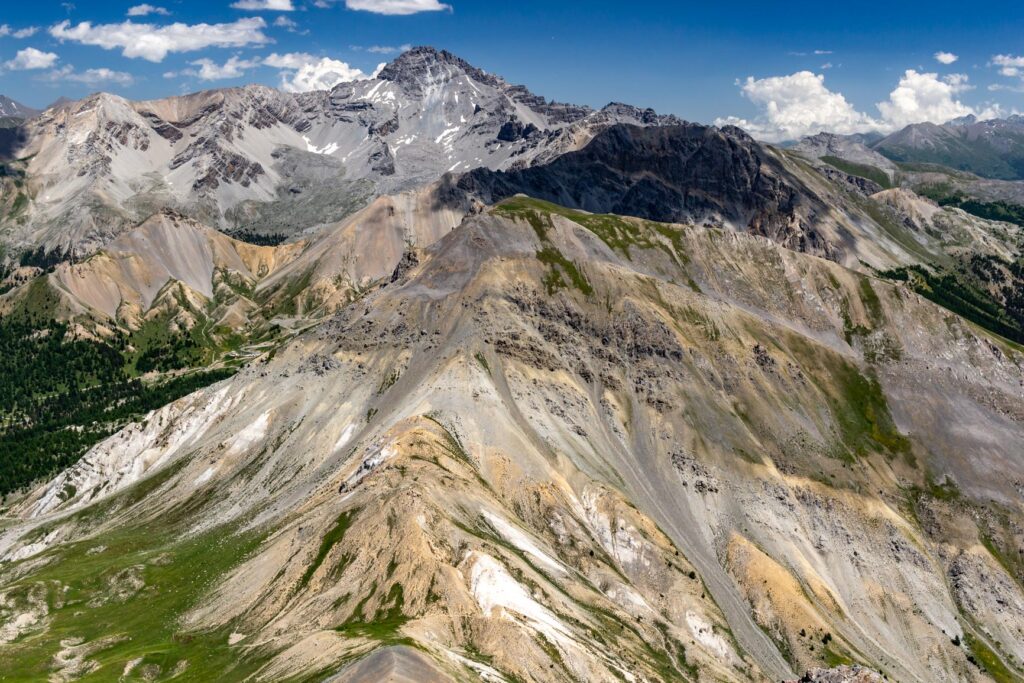
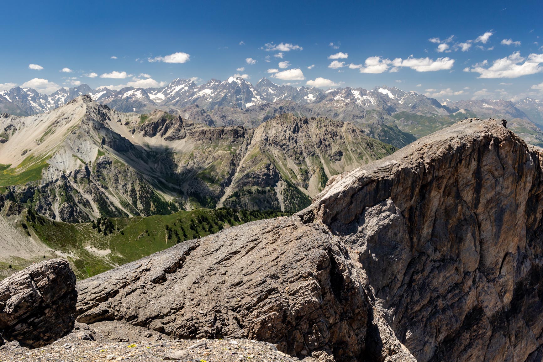
From the pass, you can choose to climb the nearby Pic de Beaudouis (+350m elevation gain). The trail is more difficult, however, as it ascends steep scree slopes. This section is therefore suitable for experienced mountaineers. You first follow the west ridge of the summit, skirting its face, then climb the south ridge, all as an out-and-back route. The breathtaking view of the entire Écrins massif from the summit is well worth the effort!
Descent to the Taura Pass
From the Col des Ayes, you can simply descend by following the same path as on the way up. But a more interesting option, which this GPX track corresponds to, is to climb 100 meters to the Col de la Taure. The junction for the Col des Ayes is located at the foot of the climb.
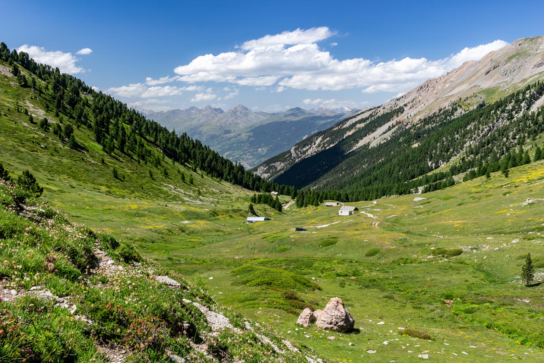
Once at the Col de la Taure pass, you can descend through the magnificent Bois des Ayes biological reserve. You eventually reach the Orceyrette stream, which you simply follow to the hamlet of Les Ayes.
A warning: the GPX on this page may not be very precise because it was traced after the fact (not taken in the field).



 FR
FR  EN
EN  IT
IT
0 Comments