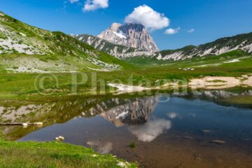
Now that's a name that makes you dream! The Path of the Gods is a route that connects Bologna to Florence, crossing the entire Apennine chain. The gods are the (small) peaks that you come across on the way: Monte Adone (Adonis), Monzuno (Mount Juno or Mount Jupiter), Monte Venere (Venus)... An easy path but with a great variety of landscapes and monuments! The most interesting is undoubtedly the Flaminia Military, a Roman road built thanks to the consul Caio Flaminio in 187 BC, whose current route of the Path of the Gods more or less follows the same path. This road was completely abandoned and then rediscovered in the 1970s by two enthusiasts. Today, we can see beautiful sections of it preserved intact under the humus over the years.
The canonical direction of the Path of the Gods is from Bologna to Florence. That said, the first stages of Bologna look rather boring on the map (a day's walk not far from the highway...). So we chose to start from Florence in the direction of Bologna and walk for only three days.
Path of the Gods in Tuscany, day 1: Fiesole, Vetta le Croci, Monte Senario
+ 1000m / – 900m 24km
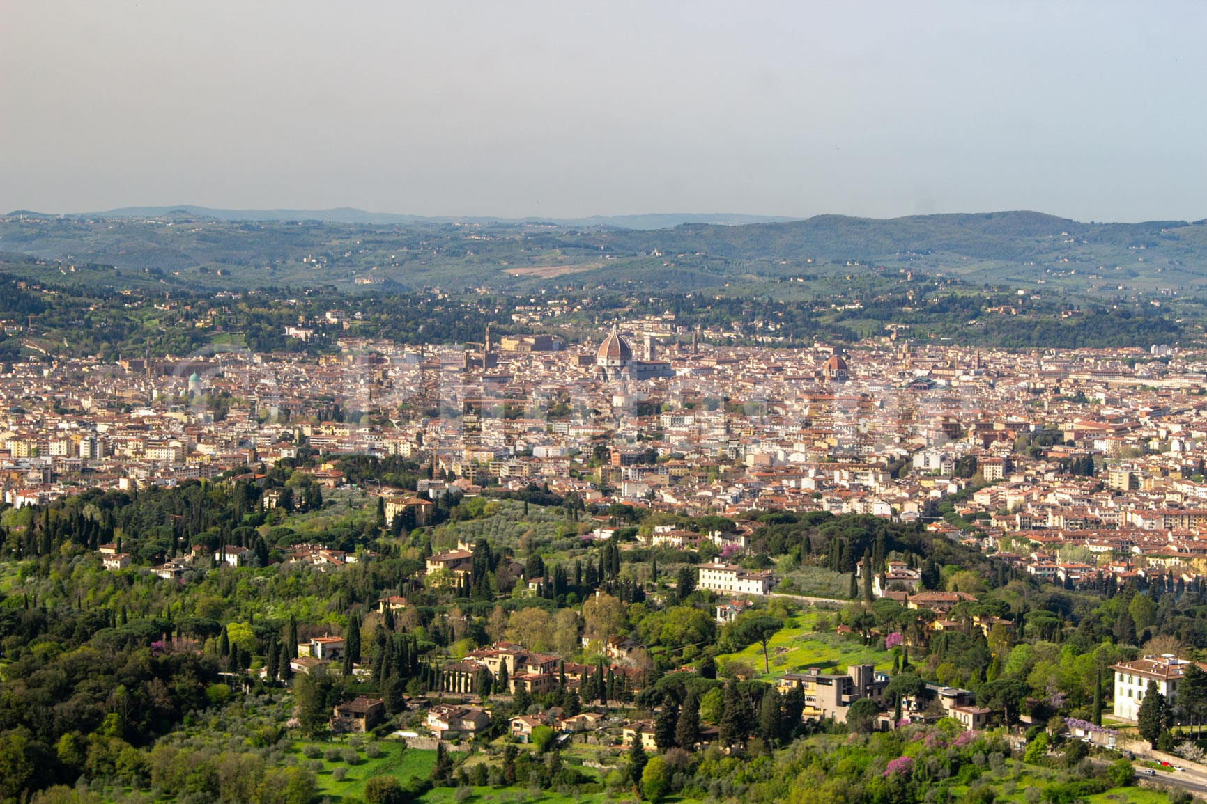
So here we are, three of us leaving Fiesole on this beautiful spring morning. This village is easily reached from the city center of Florence by bus 7. Moreover, the view of the city with the Dome is overwhelming from the streets of the village.
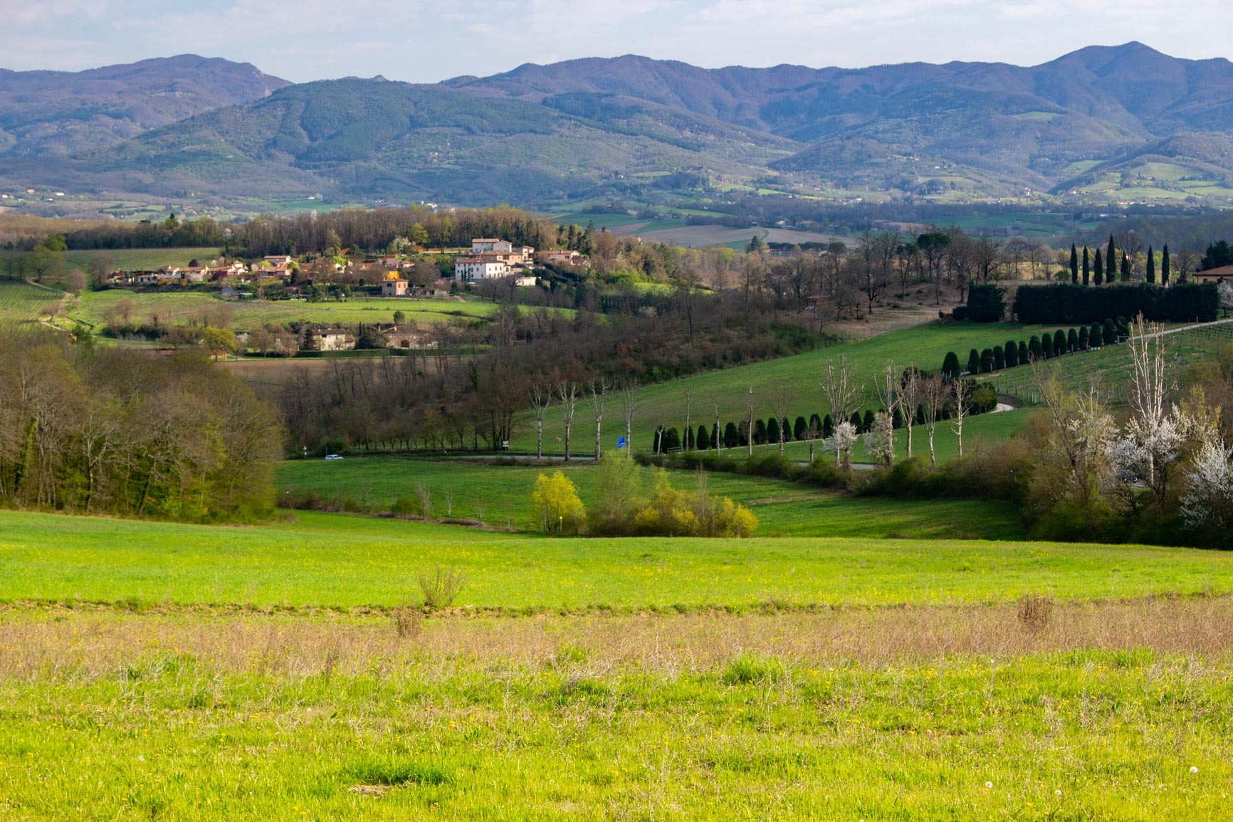
A few short kilometers of road later, we reach the hill of Poggio Pratone with a pleasant view of the surrounding Tuscan countryside. The path then becomes prettier and passes through woods of small deciduous trees. A little further on, someone has installed a wind chime in the branches of a tree. The wind plays a soothing tune... It gives the place a very special atmosphere!
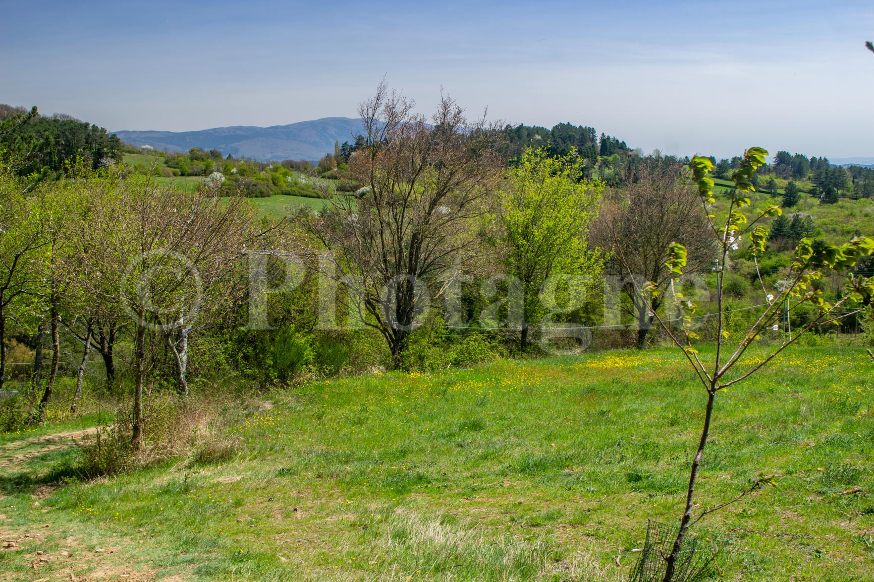

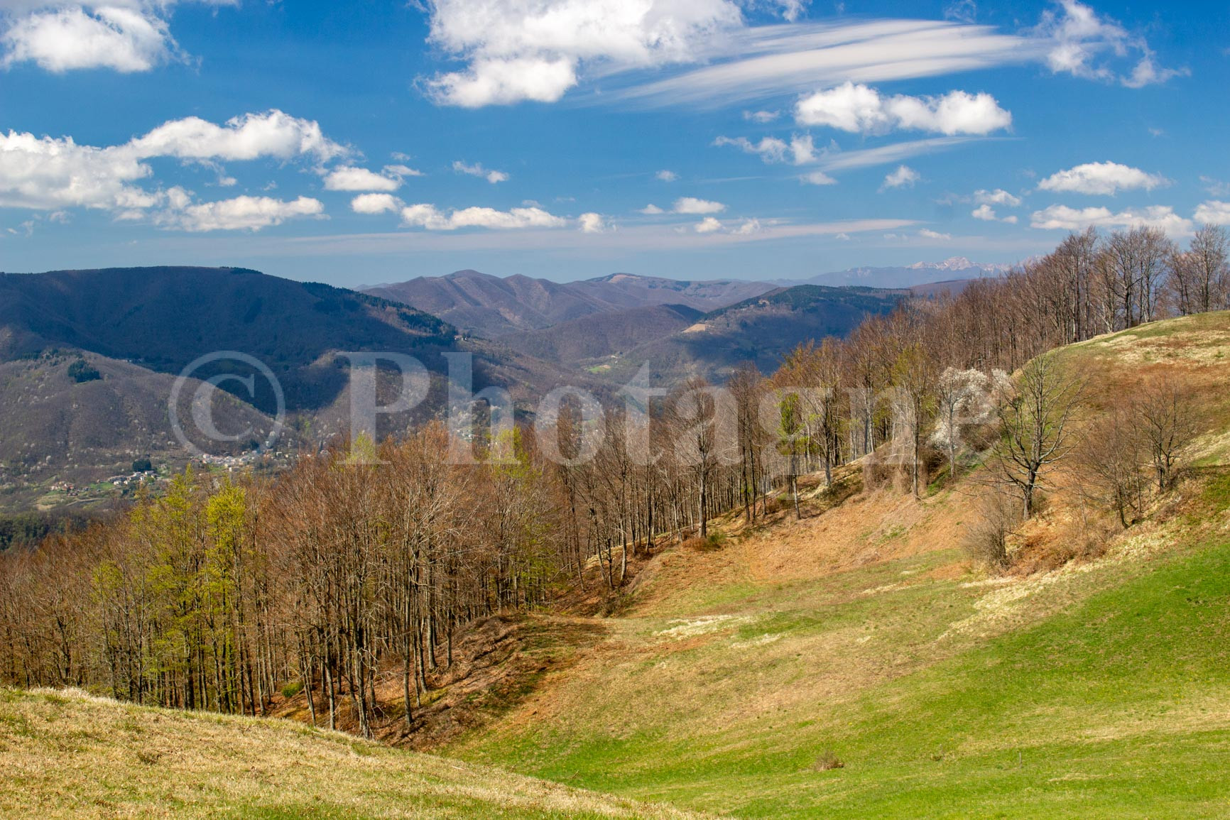
We then cross gentle, very green hills. The yellow buttercups and white plum blossoms complete the look, giving the whole place a decidedly spring-like feel.
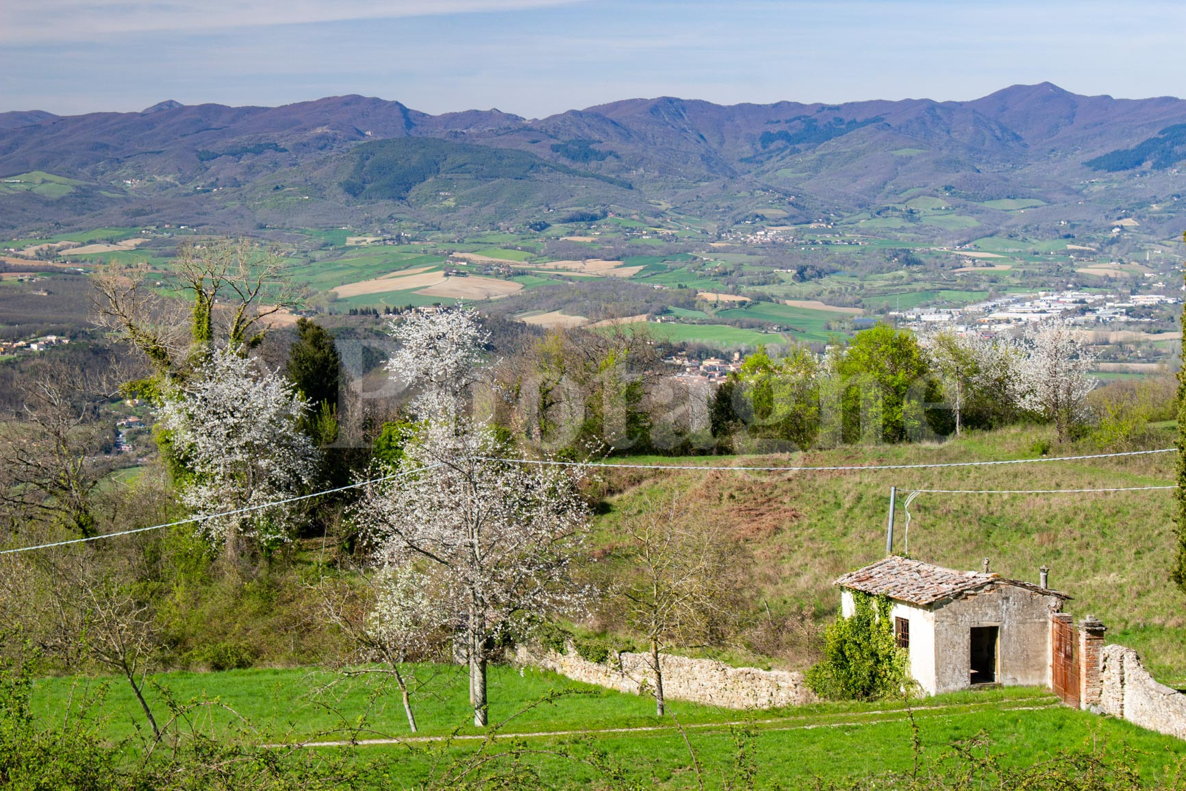
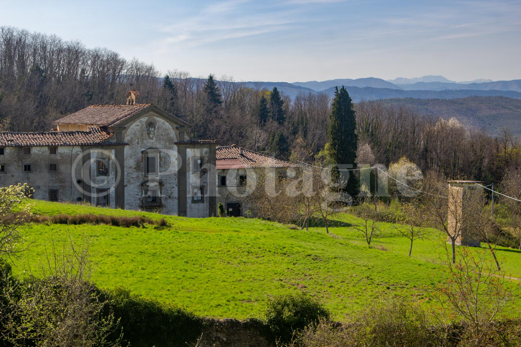
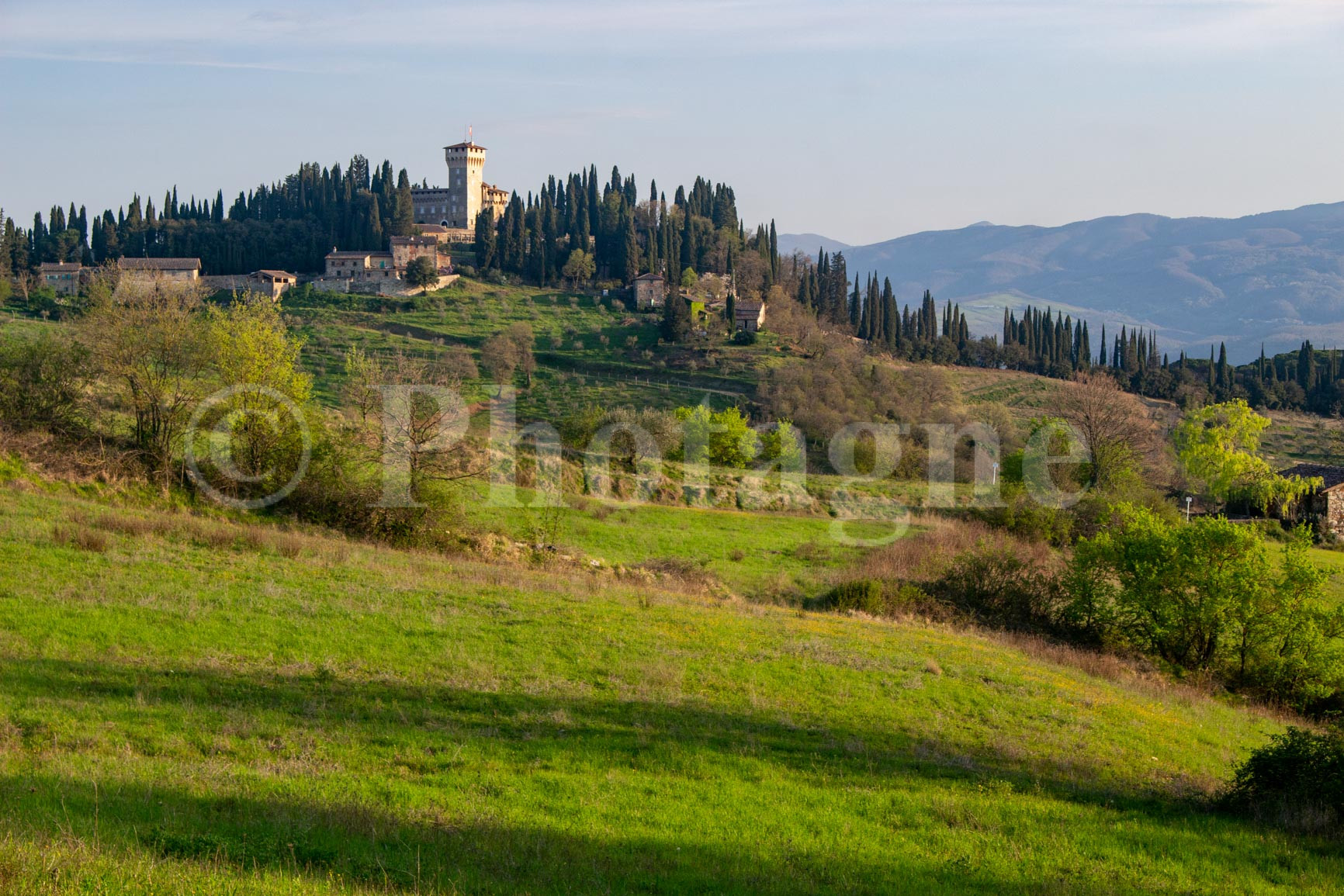
We stop at the church of Monte Senario to refill with water. Then it's a somewhat long section in beech trees before returning to more pleasant landscapes in the Tuscan style. In the distance stands the barrier of the Apennines which we will cross the next day. In the meantime, the sun starting to set, we pitched the tent shortly after the village of Tagliaferro in a meadow a little off the road. There is an excellent view of the Trebbio castle which will be our first stop the next day…
Day 2: San Piero a Sieve, Schifanoia, Passo dell'Osteria Bruciata
+ 1100m / – 400m 23km
After a hearty breakfast of the usual hiking oatmeal, we break camp and head to Trebbio Castle. It sits on a small hill with a majestic view of the surrounding countryside.
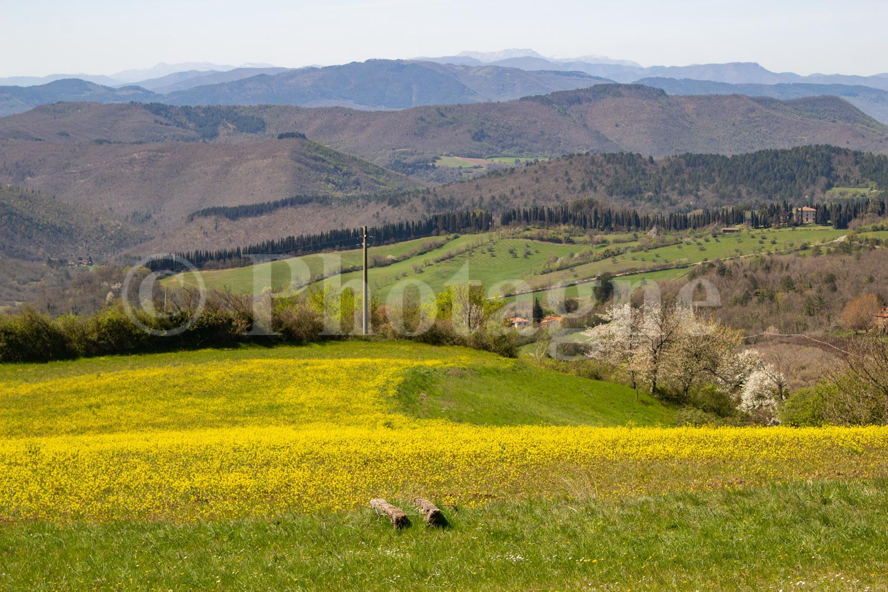
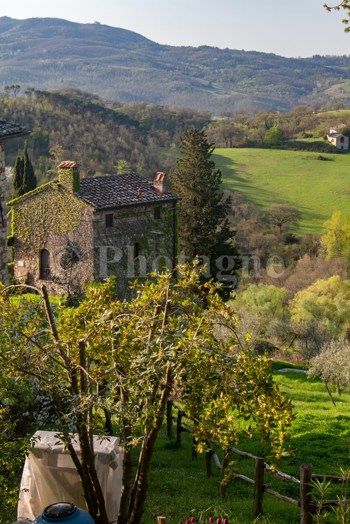
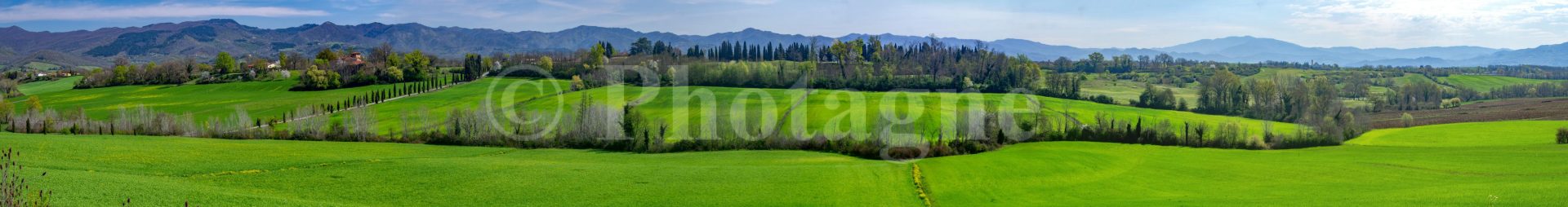
We then pass through the small village of San Piero a Sieve. This is the opportunity to treat ourselves to a nice big cornetto to get our morning sugar fix. The next part of the Path of the Gods follows a (small) flat road for almost 5km. Suffice to say, it's a bit boring... In fact, the Italian name for the neighboring town is... Schifanoia (schifo = ugly, noia = boring)! But the last part has a fantastic view of the Tuscan countryside, with the soft green fields of spring that are a pleasure to see (in the photos the green looks artificial... it isn't!).
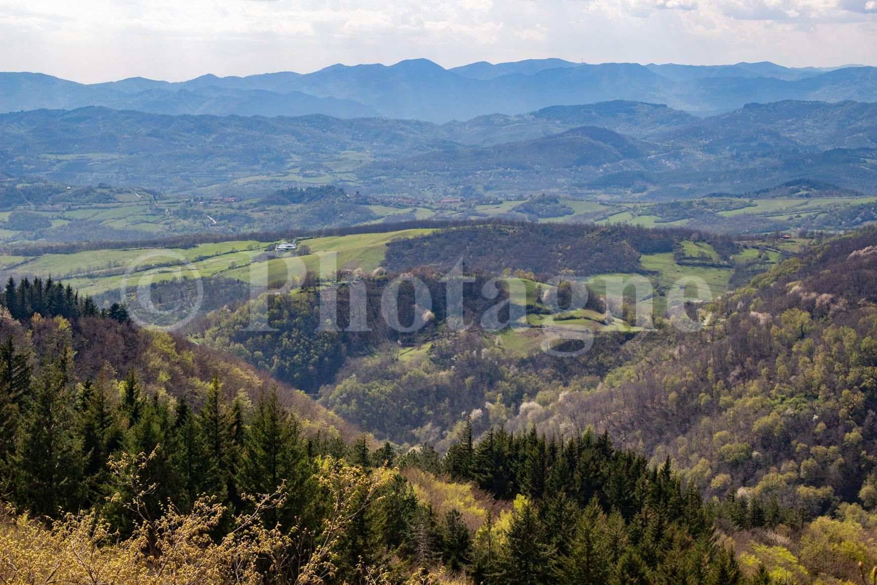
We then begin the part which takes us into the Apennines proper. The path slowly climbs its 1000m in altitude in a forest composed first of pines then deciduous trees and finally beeches. We arrive at Passo dell'Osteria Bruciata after some panoramic views along the route. The place seems suitable for bivouac but it is too early and we have no water, so we continue towards the nearest source. After recharging, we push on to Mount Gazzaro, one of the highest points of the route (1125m, that's not crazy either).
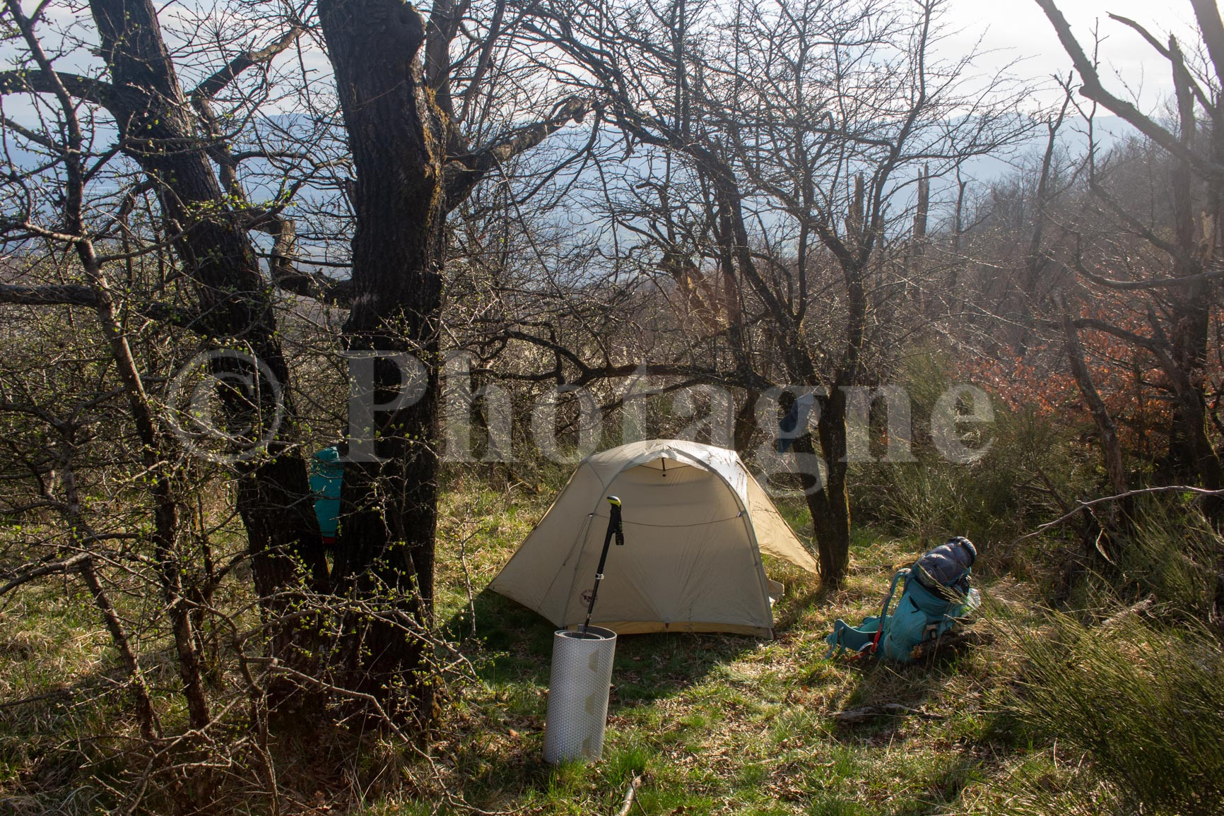
We find an ideal bivouac spot just before the summit, at the panoramic viewpoint. What's incredible is that the wind blows wildly at the summit, but we are miraculously protected! I'm afraid the wind will change during the night but that won't be the case. We spent a very beautiful evening watching the flamboyant sunset over the entire Apennine range.
Day 3: Passo della Futa, Via Flaminia Militare, Madonna dei Fornelli
+ 850m / – 1600m 28km
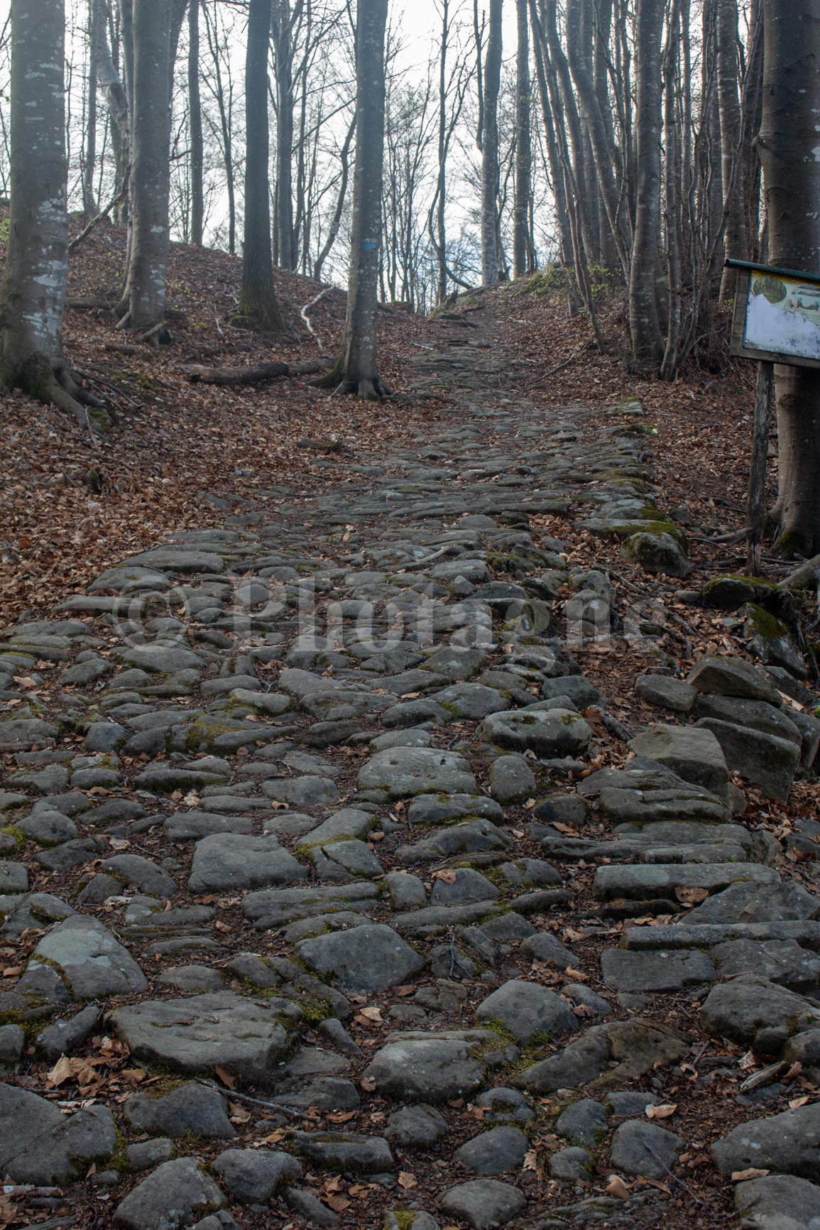
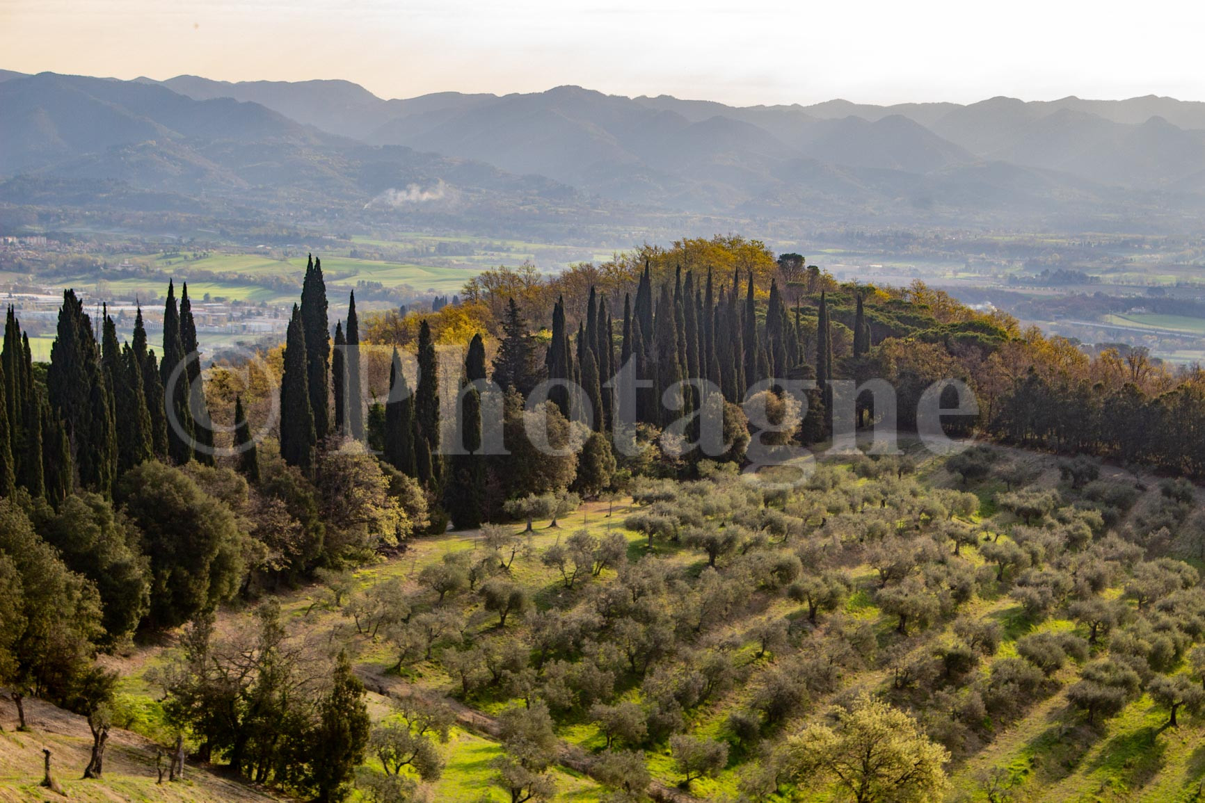
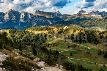
Early in the morning, we hike along the ridge that leads us to the Passo della Futa. There's still a persistent, icy wind that swirls all the leaves around us. It's pretty, but it's quite a contrast to the heat of the last few days! After the pass, we continue along the ridge among the beech trees. In places, we can see the Via Flaminia Militare, the Roman road I mentioned in the introduction. It's rather impressive to see such a monument in the middle of nowhere!
After the Banditacce summit, the path becomes more rural. We pass near some farms where the pigs that make the famous Mortadella of Emilia-Romagna are raised. Few breaks on the way because the cold wind is still very present! We eventually arrive at Madonna dei Fornelli, where we can take the first real windless break in the sun of the day.
The Path of the Gods officially continues to the village of Monzuno. But we don't have time to reach it in three days. So we decide to descend to the San Benedetto Sambro station. We follow a beautiful path along a stream that, surprisingly, isn't marked on OpenStreetMaps. In fact, it's probably one of the most beautiful stages of this route! The final section of the descent to the station at sunset is superb, all over large grassy meadows on the mountainside. You'd almost think you were in Austria...
The tiny station is only revealed at the last moment. It's already the end of the hike... What I remember is that in three days of walking we are dealing with a great diversity of landscapes. I have to say that I didn't really expect it!


If you liked the landscape photographs on this page, please take a look at the section Pictures. For example, you can order a mountain poster of my photos, which is a good way to support me ;).
2 Comments
Juliette M · 19 June 2024 at 17h04
Hello, thank you for sharing this itinerary! I just have a question regarding the bivouac. I don't know when your article was posted but I read on the official website that this was prohibited on the trail, yet you for your part found places to pitch your tent, what about the bivouac? on this route? It is true that accommodation quickly becomes expensive and is not easy to find.
In advance, thank you for your answer.
Photagne · 19 June 2024 at 18h13
Hello Juliette, from my experience, in Italy bivouac is often officially prohibited but unofficially authorized if you are in the middle of nowhere (and not on private property). By pitching the tent at sunset and removing it early in the morning, you reduce the risk to almost zero. For this route in particular, the first bivouac was near houses so we were a little hidden, the second was really in the middle of the mountain so we were able to bivouac without worry. It has also happened to me a few times that I simply ask the nearest house if they mind if we pitch the tent for just one night on the end of their land, and generally we are well received! Have a good trip.