This is the story of a magnificent eight-day hike through the Écrins National Park, camping along the way. The trail we followed partially overlaps with the more famous Tour des Écrins, but the first part of our route was entirely our own creation. In my opinion, it's one of the most beautiful mountain trekking trails to do in France. Here are a few tips and some information if you'd like to hike it:
- Bivouac As always, I chose bivouacking as my hiking method to make the most of nature. In the Écrins National Park, it is allowed from 7 p.m. to 9 a.m., more than an hour's walk from the nearest roads. Our bags weighed between 10 and 15 kg all included. A good tent for getting started with bivouacking is that of Decathlon for two people You can find lighter ones, but it has the advantage of being spacious and cheap.
- Refueling : There is a mini-market halfway along the trek at La Chapelle en Valgaudemar, which allows you to carry 4 days of food at most.
- Material : If you want to do this route in bivouac you will of course need a tent and a good sleeping bag (it can be cold at night at altitude, I recommend 0 degree comfort). In the evening, it's nice to have a camping stove and a saucepan to make hot food (pasta, polenta, soup, risotto…)
- Departure in Embrun and arrival in Bourg-d'Oisans
- DifficultyThis crossing of the Écrins requires a good level of fitness, as our stages are sometimes long (but of course, with bivouacking, it's possible to adapt the route to your liking!). The descent from the Col de Prelles is tricky; you shouldn't be afraid of heights and you need to know how to navigate in the mountains.
Now let’s talk about this hike!
Attention : Part of the route is off-trail. This requires a good sense of direction. The route may be inaccurate as it is drawn manually (not surveyed on the ground).
Les Écrins in bivouac, day 1: Mont Guillaume
+ 1750 m / – 250 m 14km
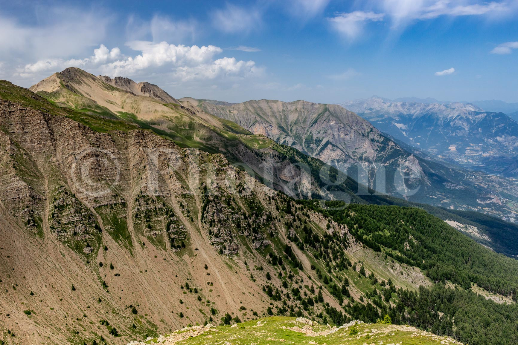
We set off from Embrun, a charming town near Lake Serre-Ponçon. Since the starting point is quite low (800m), we try to leave as early as possible to avoid the heat. Fortunately, the trail quickly enters the woods, which helps us avoid too much discomfort. The climb is long but straightforward: we need to reach Mont Guillaume above the valley, a 1750m ascent! A small oratory just outside the woods makes a good spot for a picnic. Then, a final climb out of the woods takes us to Mont Guillaume, where the view over the Durance Valley, the surrounding peaks, and Lake Serre-Ponçon is truly panoramic.
We then followed a very pretty ridge path before descending to the Col de Trempa, where we began our first off-trail section. Indeed, there aren't many paths in this remote area, but the terrain is fairly easy. This allowed us to easily reach a small lake, ideal for bivouacking. It was lovely to dip our toes in the water while eating after such a sweaty hike!
Day 2: Mourre Froid
+ 1400 m / – 1150 m 16km
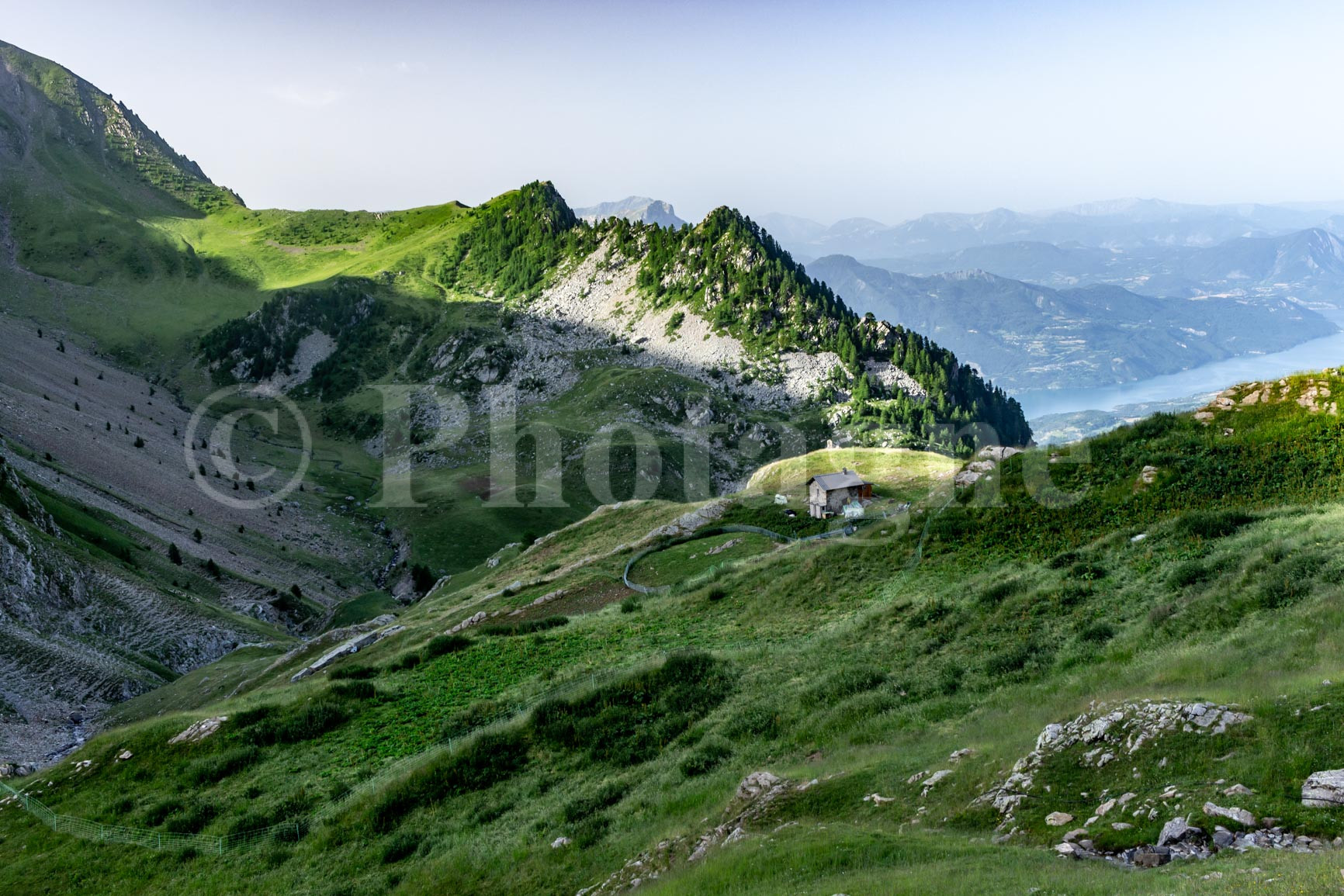
We set off again off-trail, through damp grass, eventually reaching a path that climbs from the valley towards the Reyssas pass. There's a pretty mountain hut with its flock of sheep nearby. At the pass, a truly alpine landscape unfolds, with meadows stretching as far as the eye can see. We descend back into the valley, first following the path, then cutting across the pastures to reach another path leading up to the Règue pass.
The peaks that reveal themselves are impressive, all rocks without a trace of vegetation. We can see the sun beating down in summer and the wind blowing in winter... The folds and geological layers are clearly visible.
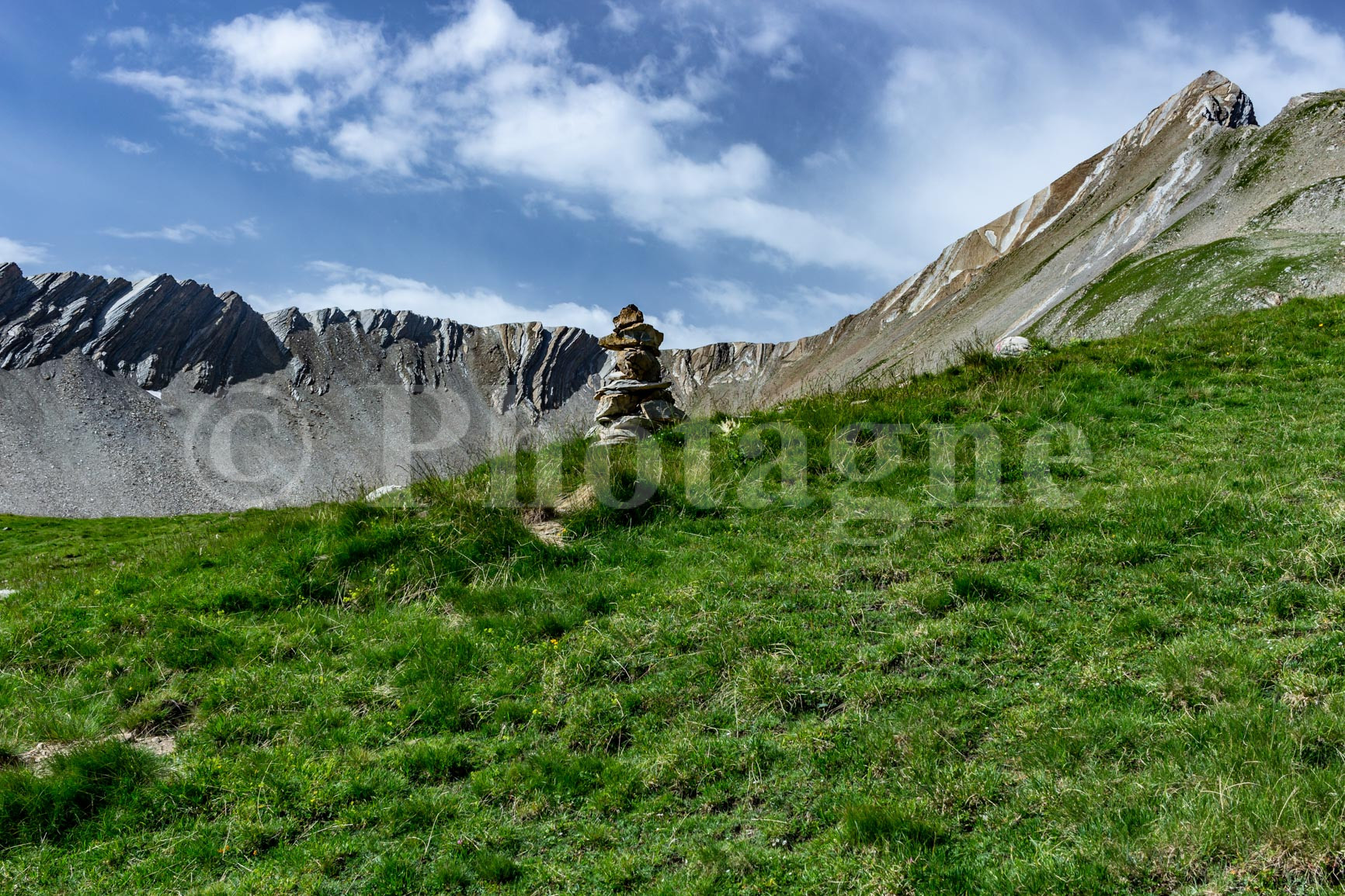
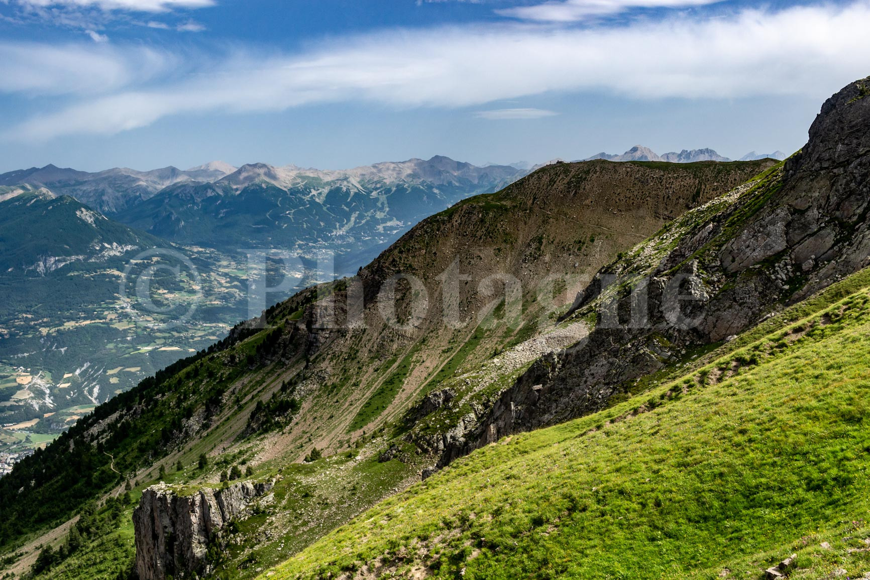
At the pass, we enjoyed our first glimpse of the Écrins mountains, all white in the distance. This was the direction we needed to follow for our hike. We then followed the very easy ridge that led us to Mourre Froid. It certainly lived up to its name: it was freezing! We sheltered from the wind behind the large cairn to eat.
Then we descended along the other ridge, following a better-defined path. Honestly, the landscape was a bit too rocky for me; I got a little bored. But for someone who loves rocks, it must be fantastic…
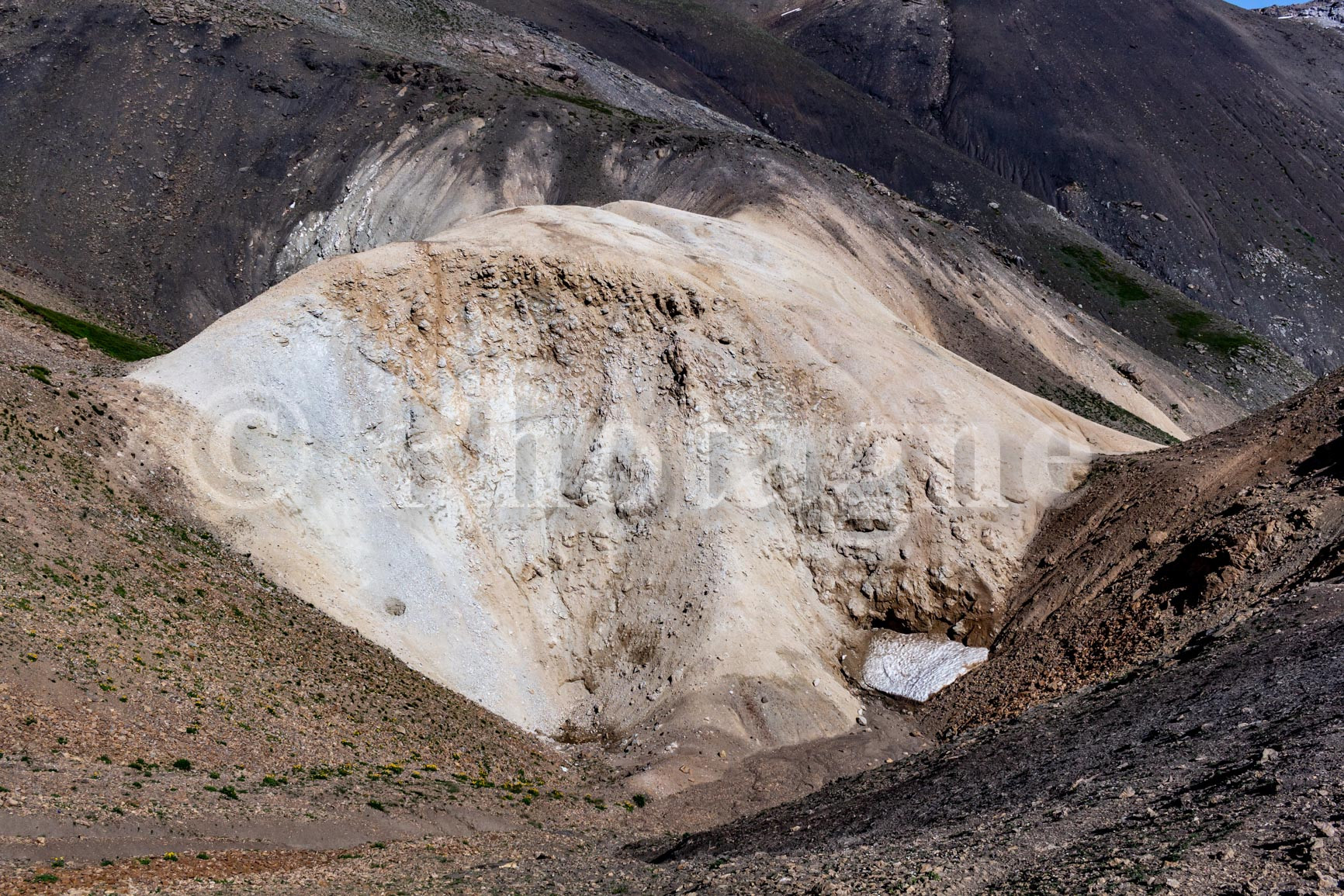
To our left stretches the Laire valley, and in the distance we can see the Col des Terres Blanches, our destination. Another name that perfectly describes the place (there's gypsum), and there's no shortage of it in this area.
We then climbed a loooong valley to reach the pass. It was beautiful, but the end of the day was definitely in the air. Especially since we never saw the pass coming; we thought it would be around the next bend, and… not at all.
We finally cross the pass and stop shortly afterwards in a pretty high-altitude meadow where there are plenty of springs.
Day 3: Dormillouse and the Prelles pass
+ 1300 m / – 1700 m 22 km
The descent in the morning into the Dormillouse valley is enchanting. We cross beautiful meadows, the grass then becoming denser. We pass alongside waterfalls. Then a pretty pond and finally the larch forest. We arrive in the village at the perfect time for a blueberry tart break.
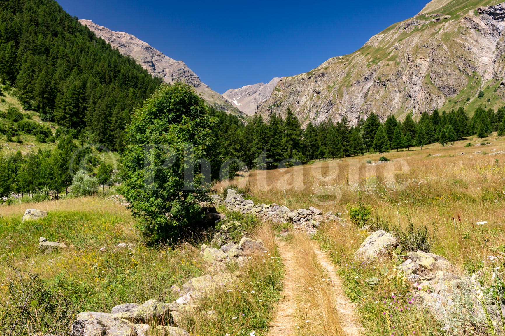
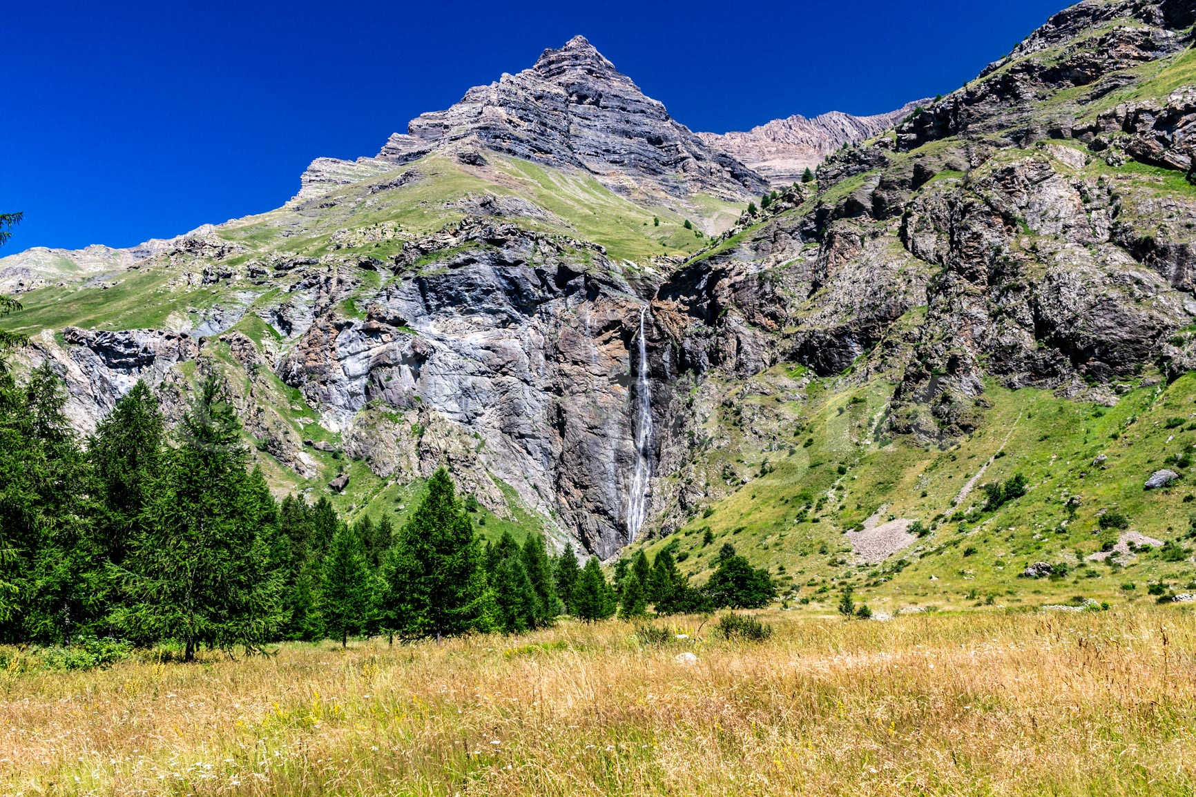
Dormillouse is a magnificent hamlet, one of the few villages in France inaccessible by road. We pass by beautiful dry-stone houses with wooden upper floors. Then we continue our journey through the Chichin Valley. We alternate between meadows, forests, and views of waterfalls: it's simply stunning. We eat lunch by a small stream.
We finally finished climbing this beautiful valley to reach the Col d'Orcières. A quick descent to Lac des Estaris, after which we climbed back up to the Col de Prelles. The view of the Écrins mountains in the late afternoon was breathtaking.
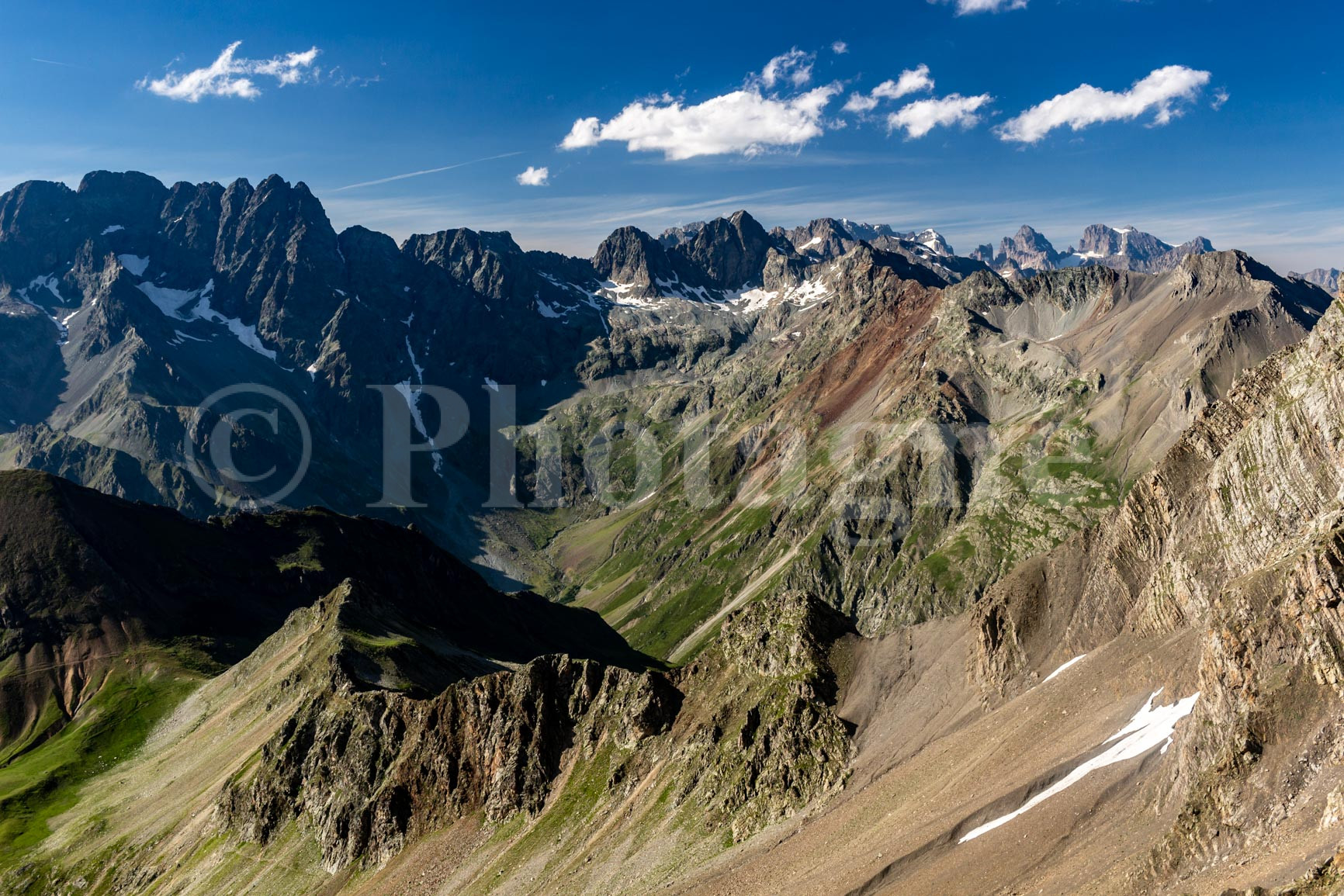
However, the most technical section of our bivouac crossing of the Écrins awaits us: descending the Col de Prelles. It's a fairly steep descent amidst rocky ledges. Care must be taken due to the risk of rockfall. Furthermore, the path is not easy to find in places; you must carefully look for the cairns and use your GPS (track shown on OpenStreetMap).
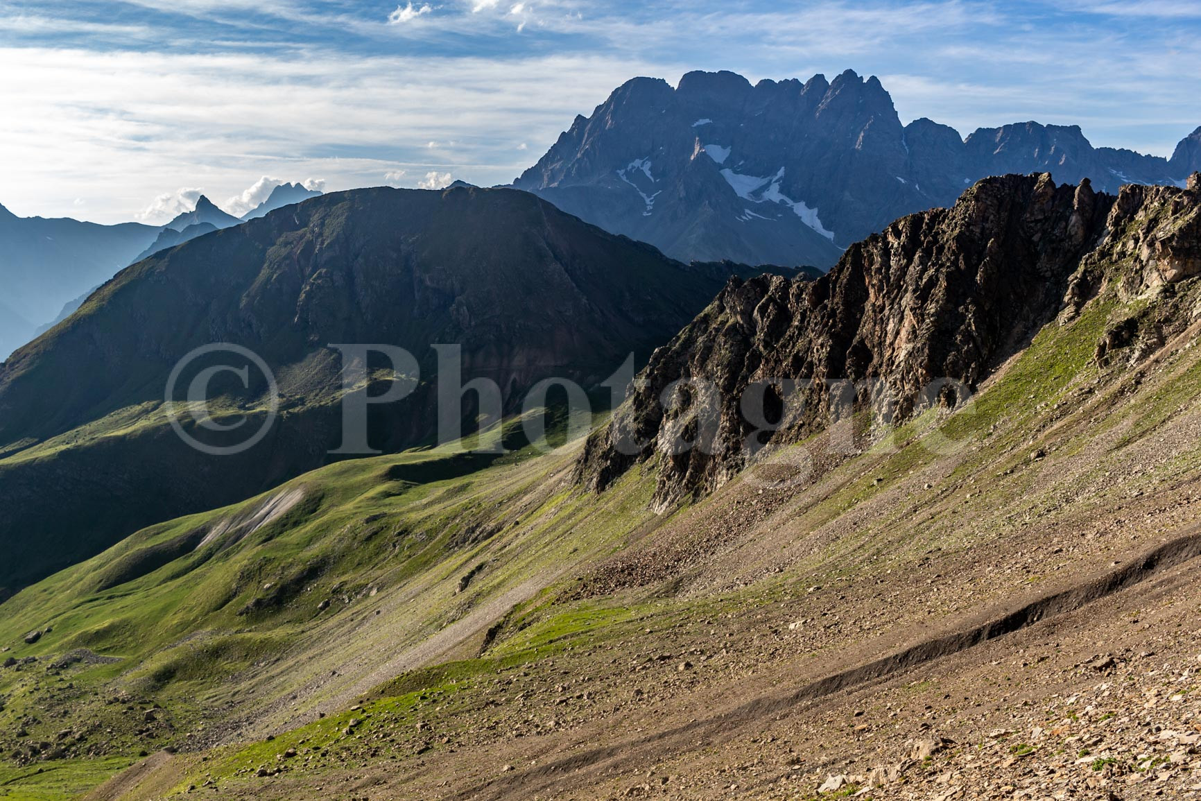
We reach the bottom of the ledge after a few rather steep scree slopes. We then have to follow the scree slope to our right. Three large trenches cut across the path, with a bit of snow at the bottom. We finally arrive, tired, at the Col du Cheval de Bois (Wooden Horse Pass). A wooden horse, like an old toy, is indeed waiting for us at the pass, which we can add to the list of descriptive names.
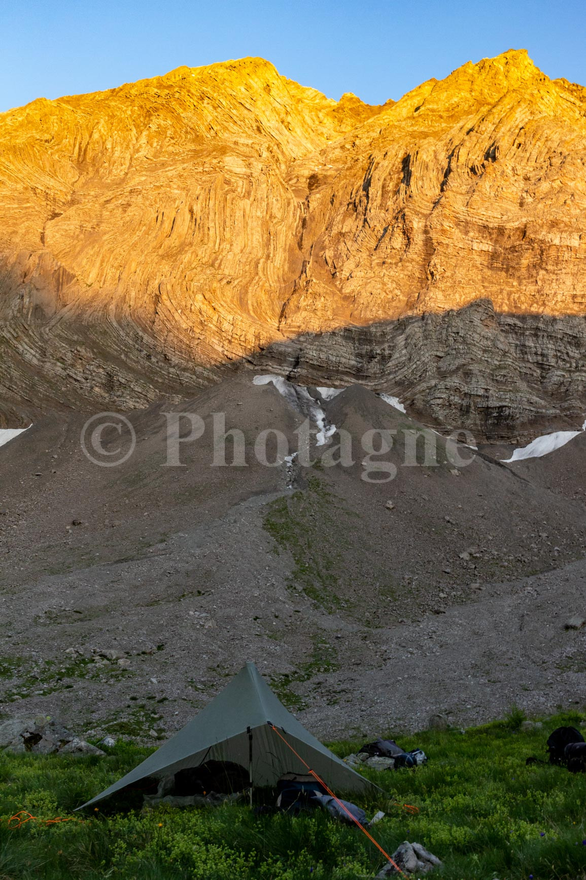
We finally descended the Rougnoux valley and set up camp in the first available spot. It was a raised grassy ledge with a large spring alongside the path. The sunset over the rocks behind us was absolutely stunning. This campsite is one of my favorites of the entire trek.
Day 4: where we join the Tour des Écrins bivouac
+ 1150 m / – 2100 m 23km
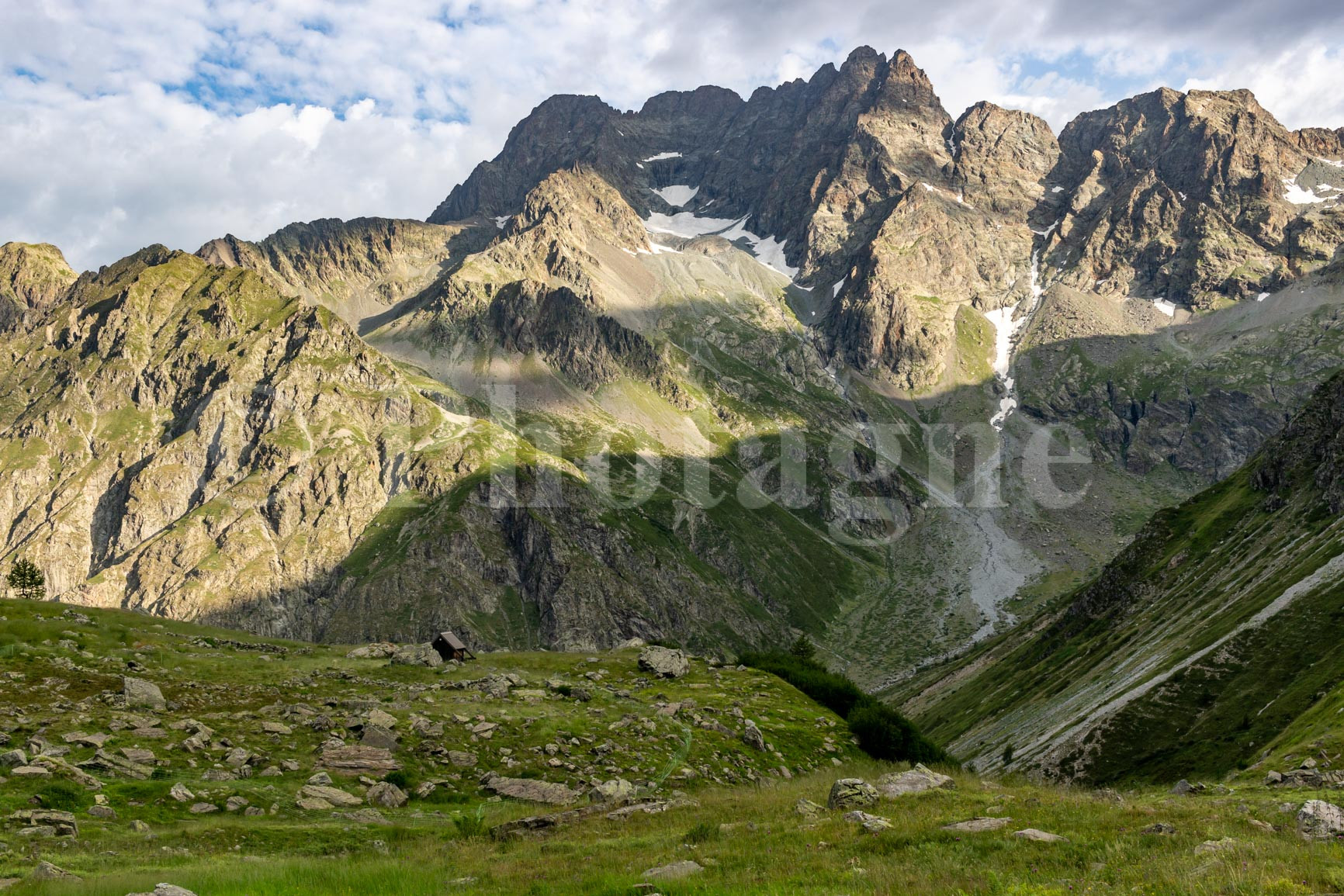
Near the tents, we chatted with a friendly shepherd who explained the damage caused by the wolf in the area. He told us that life as a shepherd was much easier without it, but that they had to live with it now.
We then descended the valley to reach Pré de la Chaumette. We were now on the "official" Tour des Écrins route, which we would follow all the way to Bourg d'Oisans. This meant, of course, that the number of hikers along the trail would increase at least tenfold. We arrived at the refuge shortly after everyone else had already set off for the day's stage. No matter: we caught up with many of them on the climb to the Col de la Vallette!
The landscape is breathtaking, alternating between scree and meadows. The sun breaks through the clouds and creates large patches of light.
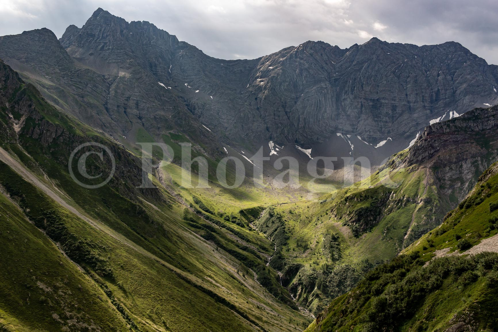
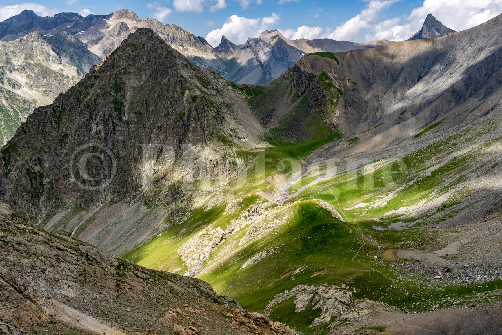
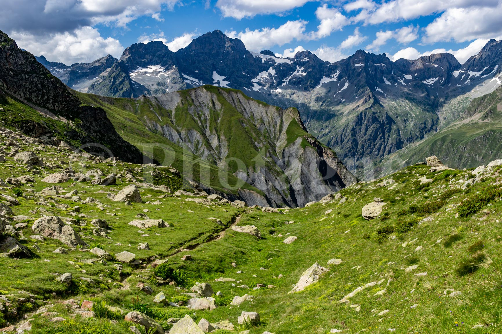
From the pass, we descend through schist to cross a charming little hanging valley: the Gouiran valley. Another pass, and then we reach Vallon Plat. Here the landscape is truly stunning, between the intense green of the meadows and the grey-black of the rocks behind. These rocks form unusual folds.
We eat at the bottom of the valley, then it's back up to cross the third and final pass of the day: the Vallonpierre pass. A short descent takes us to the Vallonpierre refuge, where we enjoy a well-deserved blueberry tart.
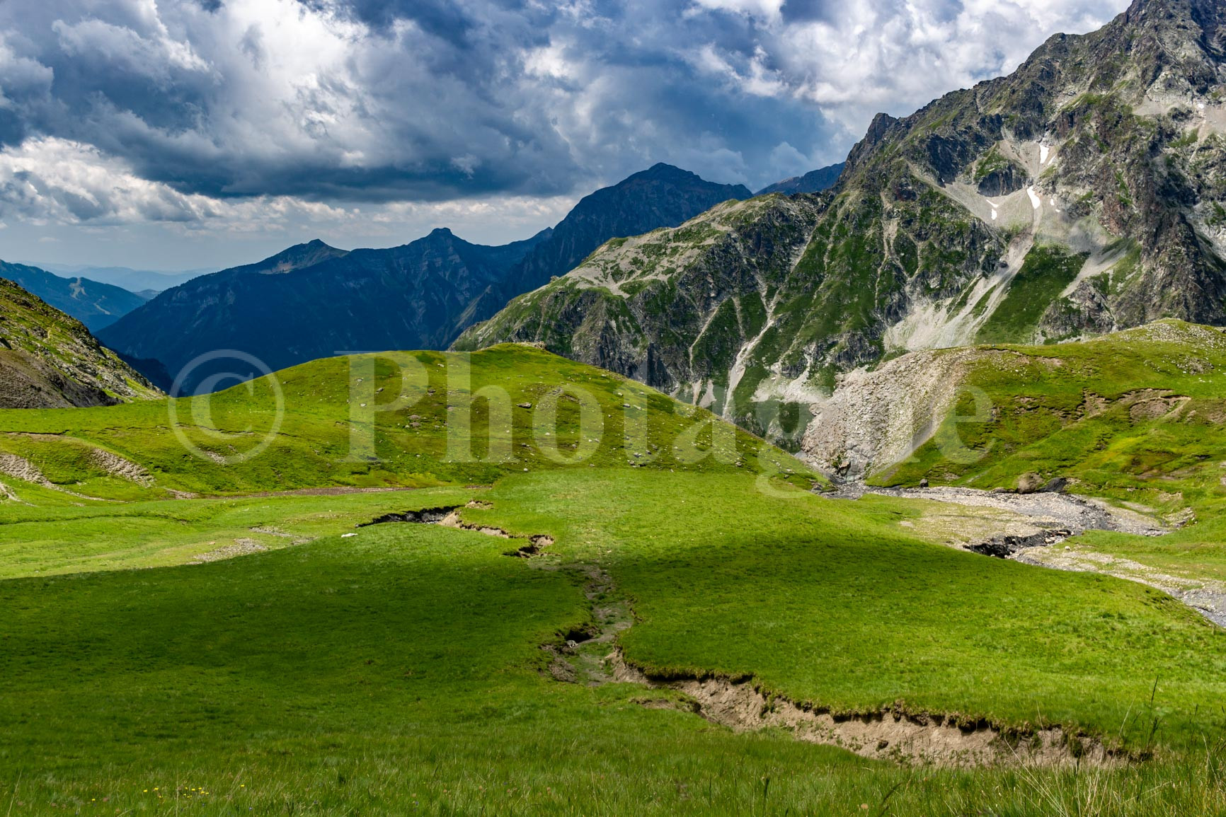
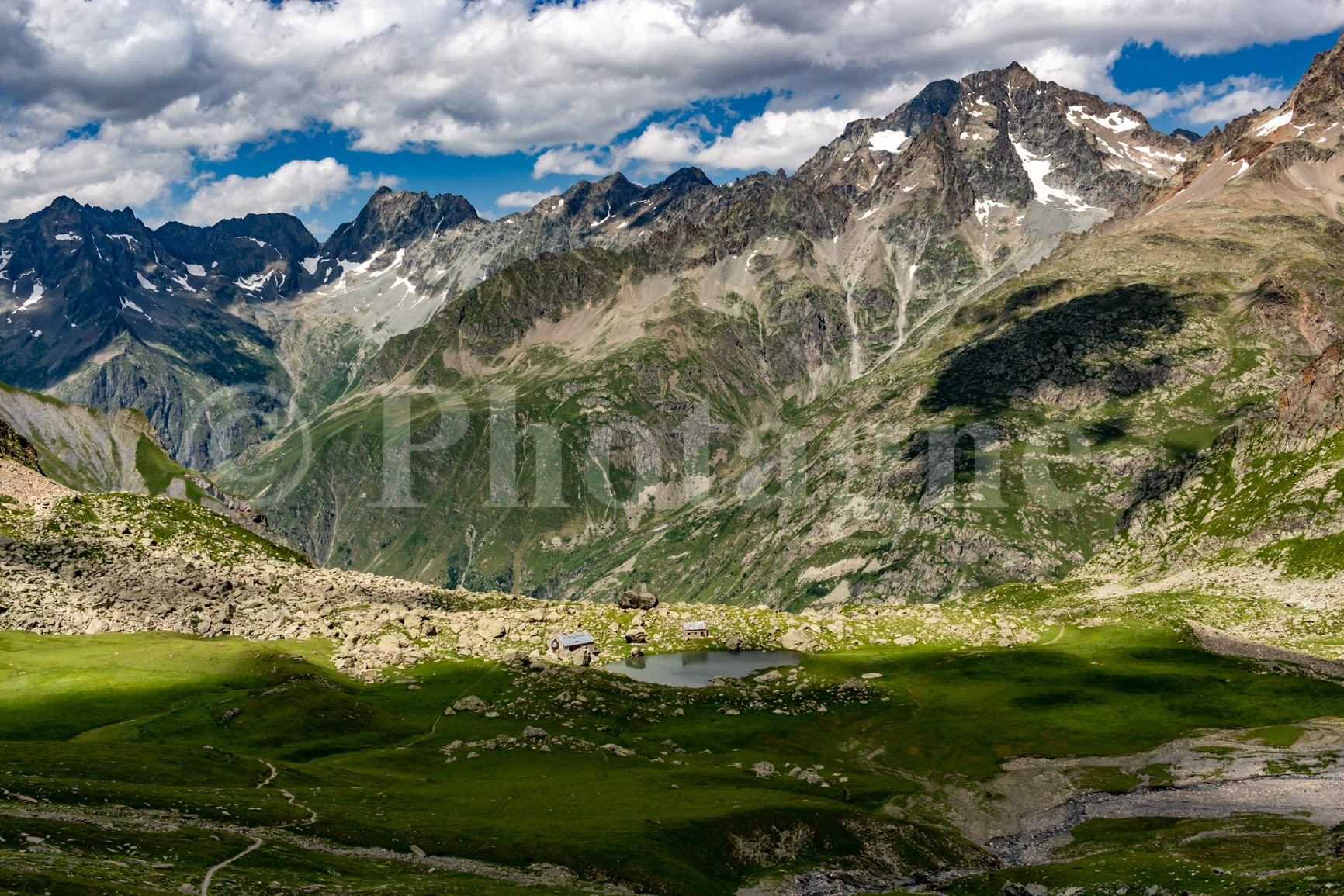
We then descended into the Valgaudemar valley. The light was magnificent, with the Écrins mountains right in front of us: one of the highlights of the trek. We truly felt surrounded by giants in this valley with its steep walls. All in all, it was the most beautiful day of this bivouac crossing of the Écrins for me.
I would recommend a bivouac stop somewhere on the descent from the refuge (there are plenty of spots), but unfortunately we have to continue. One of us is finishing his trip in La Chapelle-en-Valgaudemar and has to catch an early bus tomorrow. So we're doing a fairly long stage that takes us to the valley floor.
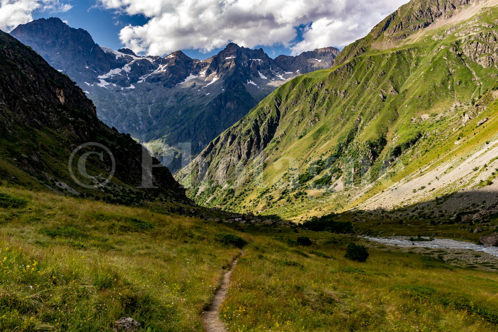
We finally camp near the river, at a lower altitude. Not the most beautiful bivouac of the trip, but it's still very peaceful.
Day 5: The Chapel in Valgaudemar
+ 1500 m / – 650 m 17km
We quickly packed up camp and arrived early in the morning at La Chapelle en Valgaudemar. A quick stop for a delicious hot chocolate, time to do some shopping for the next 4 days, and here we are again on the crossing of the Écrins in bivouac.
We climb steeply up alongside a raging torrent. We take a slight detour from the Écrins circuit, which allows us to pass closer to the Olan.
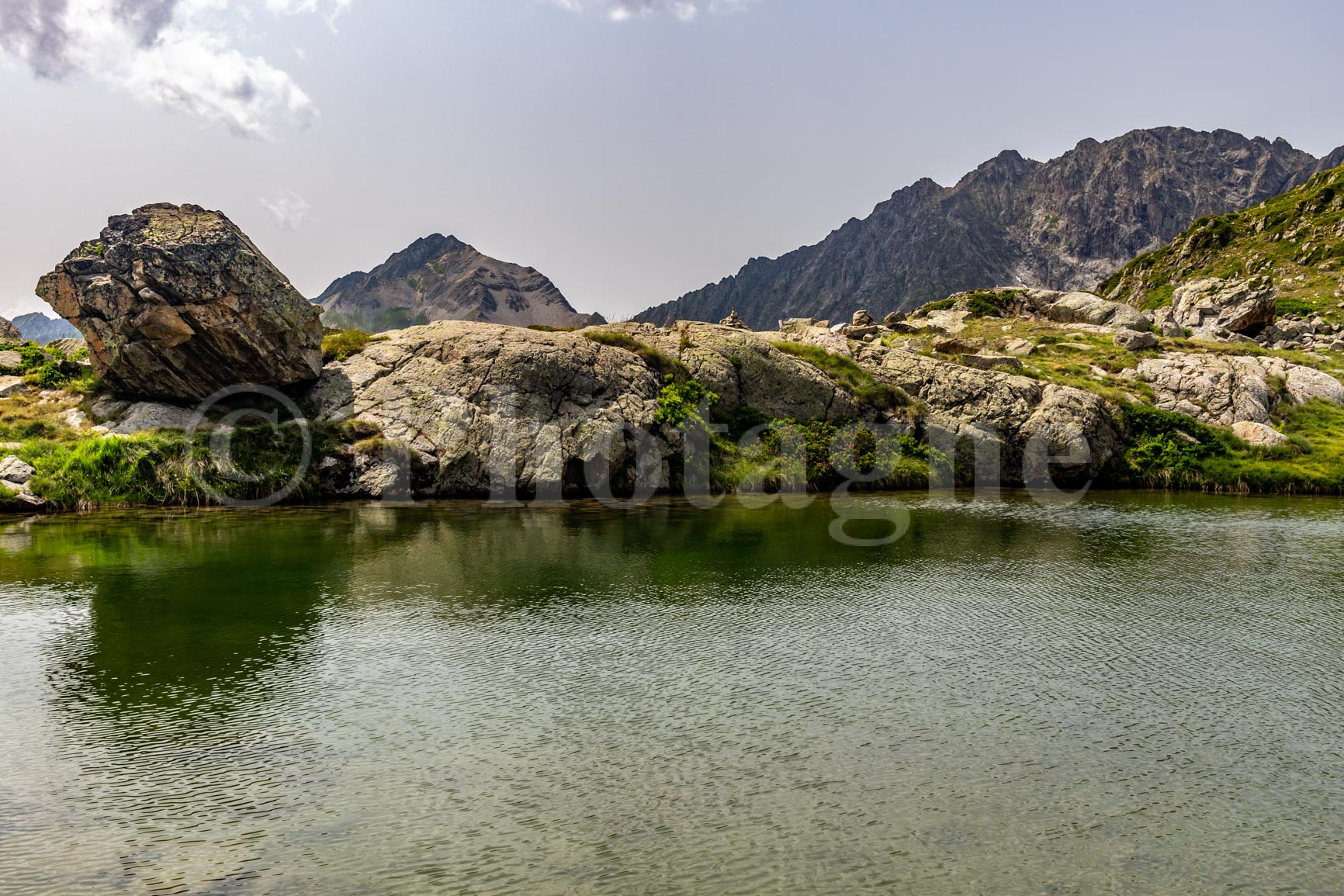
After the Col de Colombes, the landscape becomes more bucolic, winding between rocks to finally arrive at the edge of small lakes. The view over the large, deep valley of Valgaudemar is impressive.
We crossed a small pass again and finally arrived at the Refuge des Souffles. True to form, we had a small blueberry tart. Then we left most of the other hikers who were stopping at the refuge. Our thirst for nights spent in the wilderness was too great: we wanted a quiet spot for our bivouac!
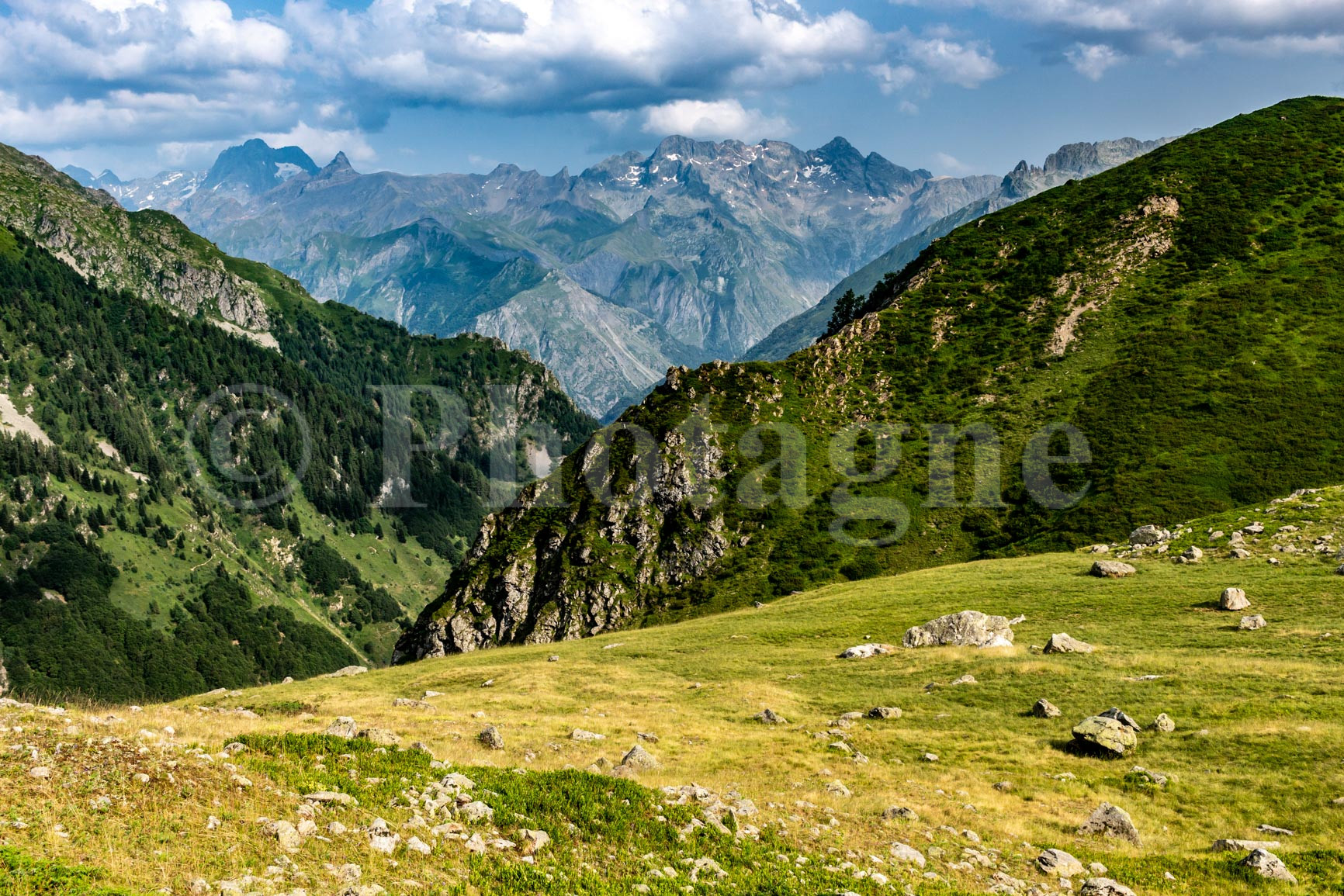
We find it about an hour further on, in a hanging valley called Périnon. It is undoubtedly the most beautiful bivouac of this crossing of the Écrins: we soar in this small grassy valley, well above the Valgaudemar, with a superb view of the Sirac in the distance.
Day 6: The Desert in Valjouffrey
+ 1450 m / – 2150 m 16km
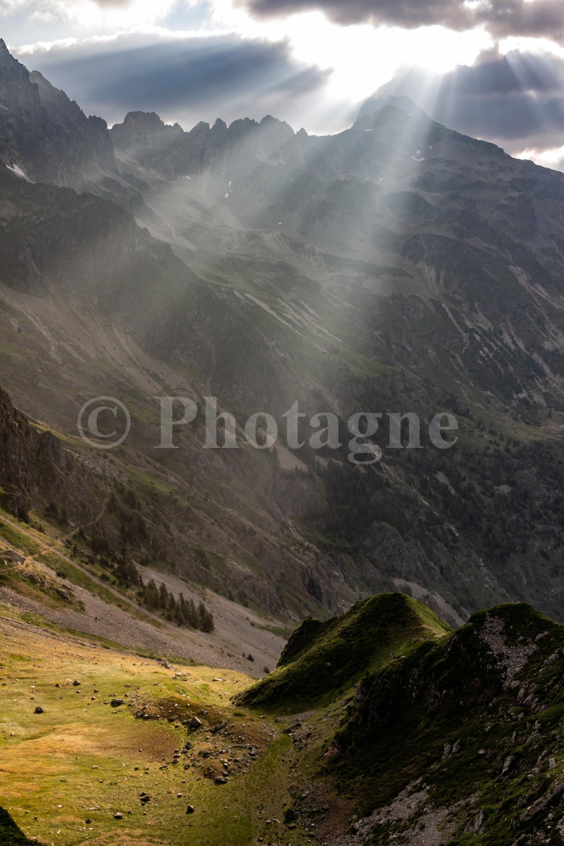
We reluctantly left our beautiful valley at dawn and quickly reached the Col de la Vaurze. The descent that followed was direct and quite steep: the 1000 meters of elevation loss really made our knees feel it! Upon arriving at the village of Le Désert in Valjouffrey, we took a well-deserved dip in the stream. It was invigorating!
The route that follows is quite simple: climb 1000m to the Côte Belle pass, descend to the next village, then climb 1300m to the Muzelle pass (the following day). The ascent to Côte Belle is nothing extraordinary, but the descent takes you through some very impressive shale formations. It really looks like a giant mille-feuille pastry.
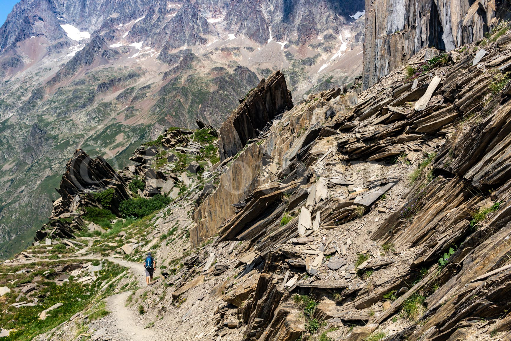
We arrived exhausted in Valsenestre, where we found an "official" bivouac area. Not bad, I must say, even though I still prefer bivouacking in the wild, far from everything. You can chat peacefully with your neighbors in the evening.
Day 7: La Muzelle
+ 1700m / – 1550m 14km
Quite a few clouds this morning. We set off early, hoping to avoid the rain as we cross the pass. Despite the overcast light, the climb is superb. Especially the last section, which ascends very steeply through the shale: from below, you wonder how anyone can make it, it's so steep! But the path is well-marked.
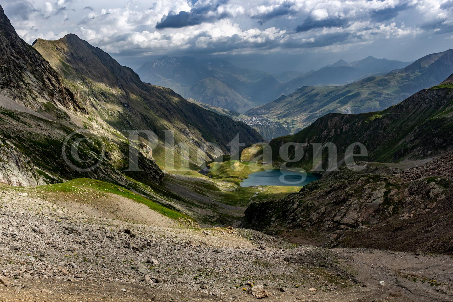
At the pass, the wind was so strong that we barely stayed. However, the play of light on the lake was absolutely beautiful, especially with a storm in the background. Fortunately, the storm passed in the distance and spared us.
A quick blueberry tart at the refuge (we're not going to break a good habit), then we set off again for the rest of the trail. Beautiful views of La Meije unfold along the way. We cross the Col du Vallon, then it's a long descent to Lac du Lauvitel.
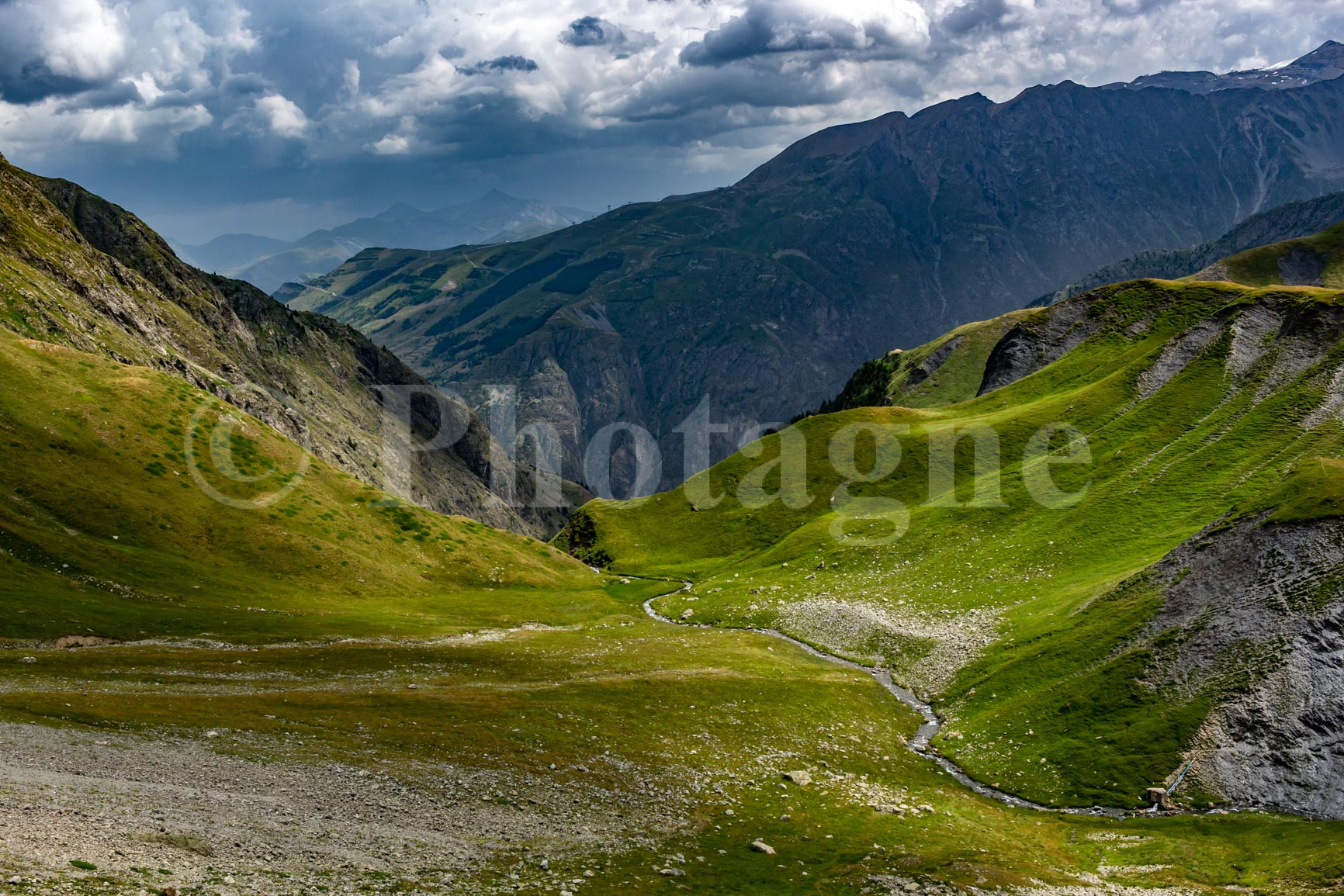
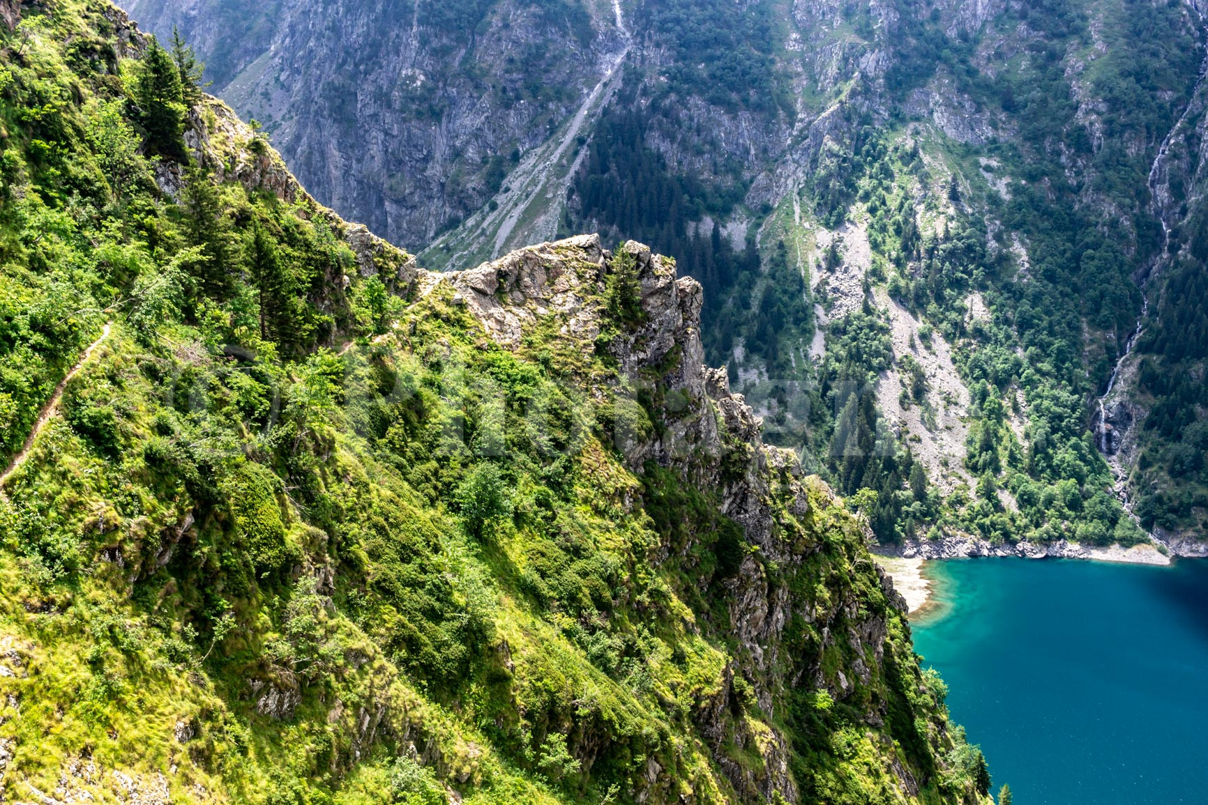
The end of the descent is beautiful; the path winds skillfully through very steep slopes above the lake. We finally arrive at the lake's edge, where a designated bivouac area awaits us. It's a superb spot, and what a pleasure it is to swim after such a descent!
Day 8: Bourg d'Oisans and end of the Écrins crossing with bivouac camping
+ 50 m / – 850 m 12km
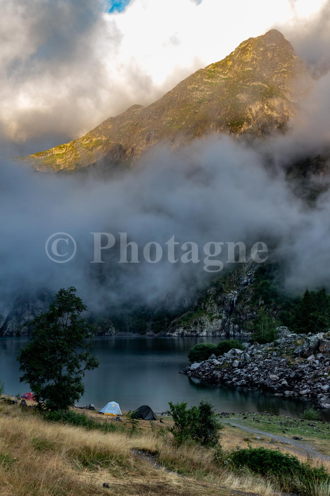
A violent storm passed through during the night. Luckily, the tents were sturdy. In the morning, we were in the clouds, which occasionally broke to reveal magnificent sunlight. This was our last bivouac, and we couldn't help but feel a little sad after such an epic journey. We packed up the tent one last time and then descended back down to the valley floor.
On the way, we passed a man with a mule carrying food for one of the houses near the lake. There was no other way to get it there!
We finally reached the valley and hiked a few kilometers through a lovely riverside forest. Then Bourg d'Oisans marked the final leg of our journey. What a variety of landscapes along this bivouac crossing of the Écrins mountains! I hope you enjoyed this description, and please feel free to leave your comments on our route.
Looking for other great hiking routes in the Alps? Take a look at my trekking in the Dolomites !
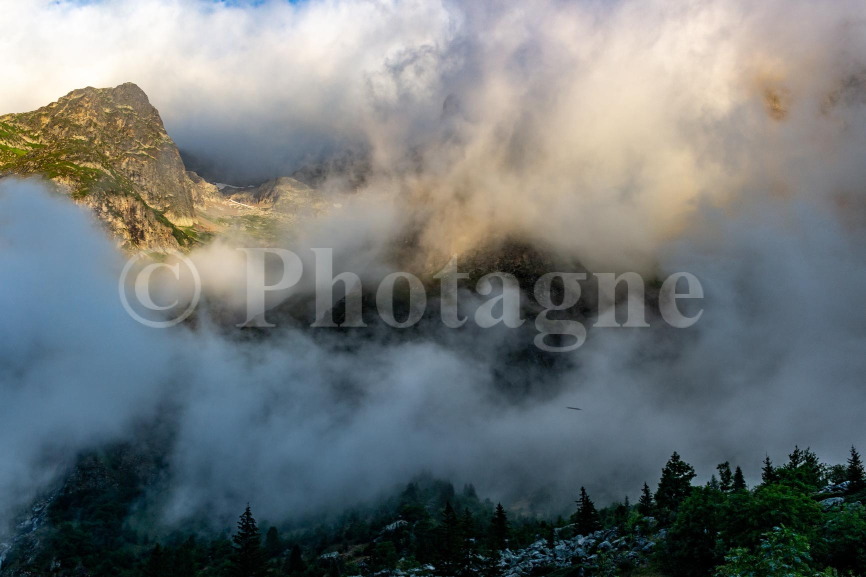
If you enjoyed the landscape photographs on this page, feel free to visit the section Pictures. For example, you can order a mountain poster of my photos, which is a good way to support me ;).

 FR
FR  EN
EN  IT
IT
2 Comments
Florence · 12 June 2025 at 19h54
Thank you for this account of your "modest but brilliant" adventure; I read and reread it with pleasure. I really like your writing style and, of course, the photos. I have two questions: what season did you do it in? The light in the photos looks like late summer/autumn. And also, is the GPX file your actual route?
Photagne · 12 June 2025 at 20h44
Hello Florence, and thank you for the comment, it makes me happy! To answer your questions:
1) I hiked this trail at the end of July; I think it's doable from the beginning of July to the end of September (depending on the year's snow conditions). The highest point is Mourre Froid at almost 3000m.
2) As for the GPX file, I created it manually using a mapping app after the hike, if I remember correctly. I have a good memory ;). But it's possible the track might be a little inaccurate, especially in off-trail sections or where there are many small parallel paths. I would advise always referring to the terrain and having a good map with you.
Happy hiking and feel free to post another comment if you do part of this route!