Nestled at an altitude of 1,326 meters, Briançon is one of the highest cities in Europe. It is undoubtedly one of the best-located cities for mountain and hiking enthusiasts. Prefecture of Hautes-Alpes, it is located in the heart of several emblematic valleys: the valley of the Durance, which heads south towards Embrun, the valley of Serre Chevalier, dominated by the peaks of the Écrins National Park, the valley of Cervières at the foot of the Rochebrune peak, or the magnificent Clarée valley, still very well preserved.
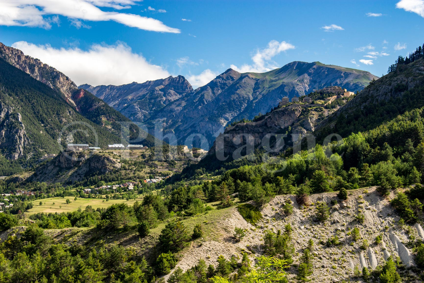
Listed as a UNESCO World Heritage Site for its fortifications designed by Vauban, Briançon combines historic heritage with spectacular scenery. It's an ideal starting point for hiking, whether you're looking for a leisurely stroll or a long, high-altitude run.
And after the effort, the comfort: Champsaur tourtons, ravioli, Queyras cheeses like the famous Blue from Queyras, or even Italian specialties coming from nearby Piedmont — Briançon is also a land of passage, of shared Alpine culture.
In this article, I share with you my 5 favorite hikes around BriançonTried and tested routes, loved, sometimes photographed, always chosen for the beauty of the path as much as for the atmosphere they offer. Briançon is my favorite place for a mountain holiday in France. Not only do you breathe in the fresh mountain air, but the climate is also significantly more favorable than in areas further north, like the Mont Blanc massif. So, lace up your hiking boots, grab your backpack (and while I'm at it, I'd like to recommend the 50L backpack from Decathlon which I use for all my hikes, it is very durable) and have fun!
Dormillouse and the lakes of Palluel and Faravel
Dormillouse It is a place of indescribable beauty. You have to go there to appreciate all the nuances and natural splendors of this village, which is one of the few French communes without road access. The hiking trail starts from the Freissinières valley, about a 40-minute drive from Briançon. You park at the very end of the road that winds through the valley, in front of imposing cliffs that hide the village from view.
The hike I'm suggesting starts from the parking lot, climbs the steep, winding path up to the village, and then heads off onto the neighboring plateau. We then pass by the high-altitude lakes of Palluel and Faravel. These are natural wonders where, if you're lucky, you might spot an alpine newt. The first part of the hike is through the forest, under the larches that are so prevalent in this region of the Alps. The higher section meanders through alpine pastures. There are a few glimpses of the neighboring peaks, but unfortunately, the summits of the Écrins massif remain hidden from view.
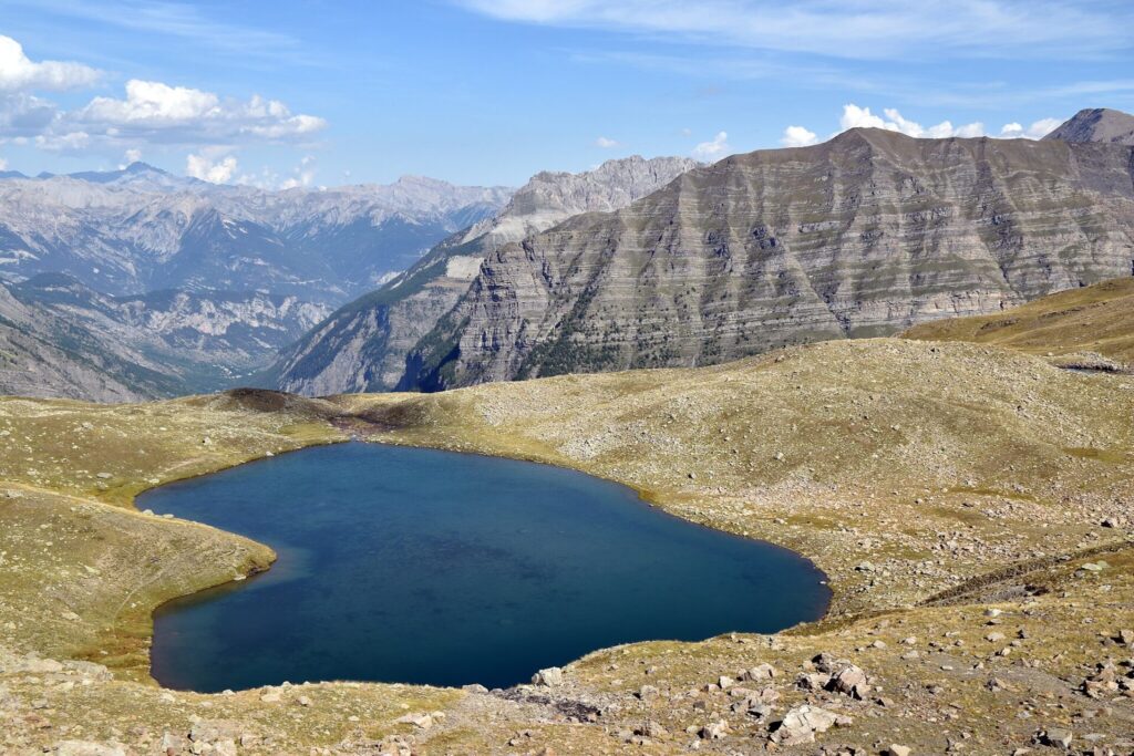
On the way back, it would be lovely to stop in Dormillouse for a well-deserved slice of pie. Or why not spend the night? Plenty of accommodation options are available for an overnight stay in this charming village.
The hike is not technically difficult. It involves approximately 1000m of elevation gain, but it is also possible to shorten or lengthen the route if desired. You can consult the detailed route description with GPX track and estimated time on the website ofAltituderandoFeel free to also check out my story about my crossing the Écrins in bivouac, where I spend the third day at Dormillouse, camping in my two-person tent !
The Ayes Valley: a hike at the gates of Briançon
If you are looking for a magnificent hike in the immediate vicinity of Briançon (20 min by car), you absolutely must stop by Ayes valleyIt is located in the commune of Villar Saint-Pancrace, a charming village near Briançon. Access is via the small, winding road that leads to the Ayes chalets. You can then park in the car park at the entrance to the hamlet.
The chalets at Les Ayes are primarily private holiday cottages. However, there is also a pleasant bar in the center of the hamlet. The hike I suggest starts from the village, winds through a larch forest, and then climbs up an alpine valley through landscapes typical of the Briançonnais region. It leads to a mountain pass where the view of the neighboring peaks, particularly Mont Viso in Italy, is remarkable.
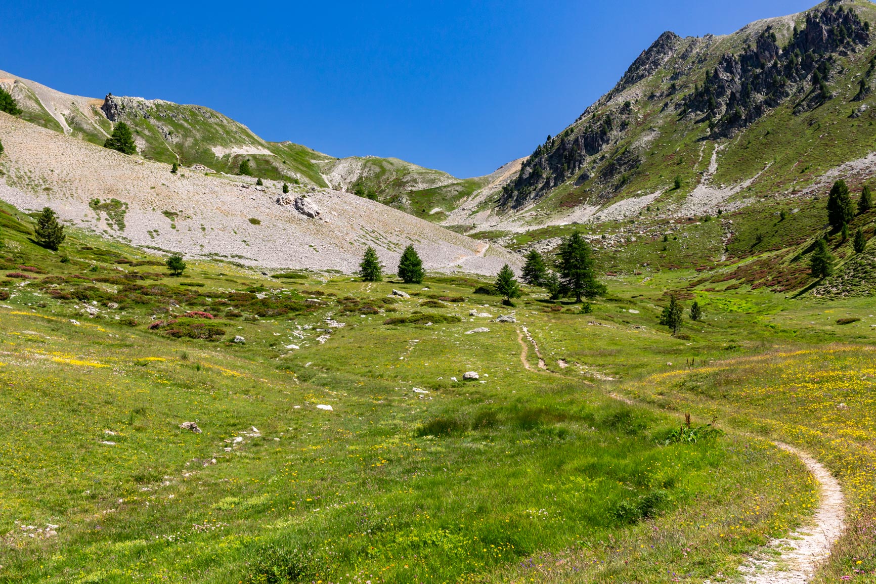
It's possible to extend the hike by climbing a nearby peak, the Pic de Beaudouis. The hike is technically easy (800m elevation gain) if you don't attempt the summit, which is best left to more experienced hikers. On the return, you'll pass through the beautiful Ayes Valley Nature Reserve.
To find the GPX file and the full description of the hike, you can consult my page on the tour of the Ayes valley.
The Fonts de Cervières and the Lac des Cordes
The Cervières valley is one of the most beautiful valleys directly accessible from Briançon. Compared to the more famous Clarée valley, it has the advantage of being less touristy and less frequented. The hike I propose starts from Fonts de CervièresIt is a hamlet within the commune, located in the upper valley behind the village of Cervières. It can be reached in about 50 minutes by car from Briançon.
The Fonts de Cervières valley borders the majestic Pic de Rochebrune, one of the area's main peaks. There are several remarkable views of the peak from the valley. The hiking trail will lead you to Lac des Cordes, a beautiful high-altitude lake at the foot of Pic de Rochebrune, ideally situated for a picnic in the alpine pastures.
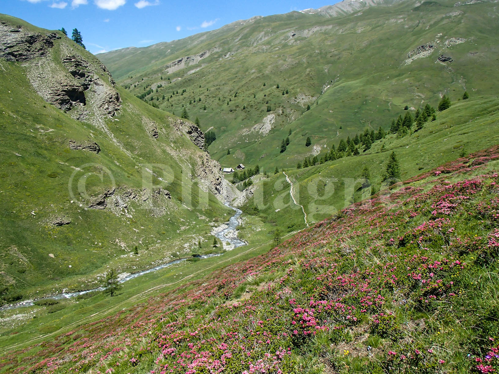
The hike is technically easy, with an elevation gain of 600m. To download the GPX file and the full route description, you can go to... hiking. I also went to the Fonts de Cervière during my memorable trek from Guillestre to Mont Blanc !
Lake Combeynot
After these three hikes through bucolic valleys and gentle alpine pastures, I suggest a more alpine route that ends at a high-altitude lake nestled in a stark, rocky landscape. If you hike early enough in the season, you'll likely see the lake still covered in the last patches of winter ice.
Access is from the hamlet of Les Boussardes in the Guisane Valley (Serre-Chevalier), a 30-minute drive from Briançon. Park in the valley and then begin the steep climb that leads directly to the Combeynot LakeThe route has an elevation gain of 950m and is of medium difficulty (a few exposed or rocky sections, which remain technically straightforward). The lake itself, at 2500m altitude, is a small gem nestled in a landscape of vast scree slopes. You truly breathe in the high mountain air there.
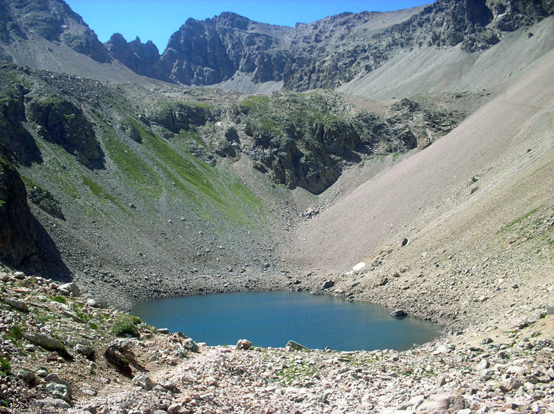
To find the corresponding route with the GPX track, you can go to Altituderando.
Rochebrune Peak: a difficult hike near Briançon
Finally, I propose a more challenging but equally rewarding route. It involves climbing one of the region's most iconic peaks, the Rochebrune peak At 3321m altitude, this hike is recommended only for those with significant high-mountain experience and no fear of heights (it can be classified as bordering on mountaineering). Several sections require easy scrambling, with a rope strategically placed at key points. Wearing a helmet is strongly advised for the final part of the hike. The view from the summit is breathtaking, particularly of the Écrins massif and Mont Viso.
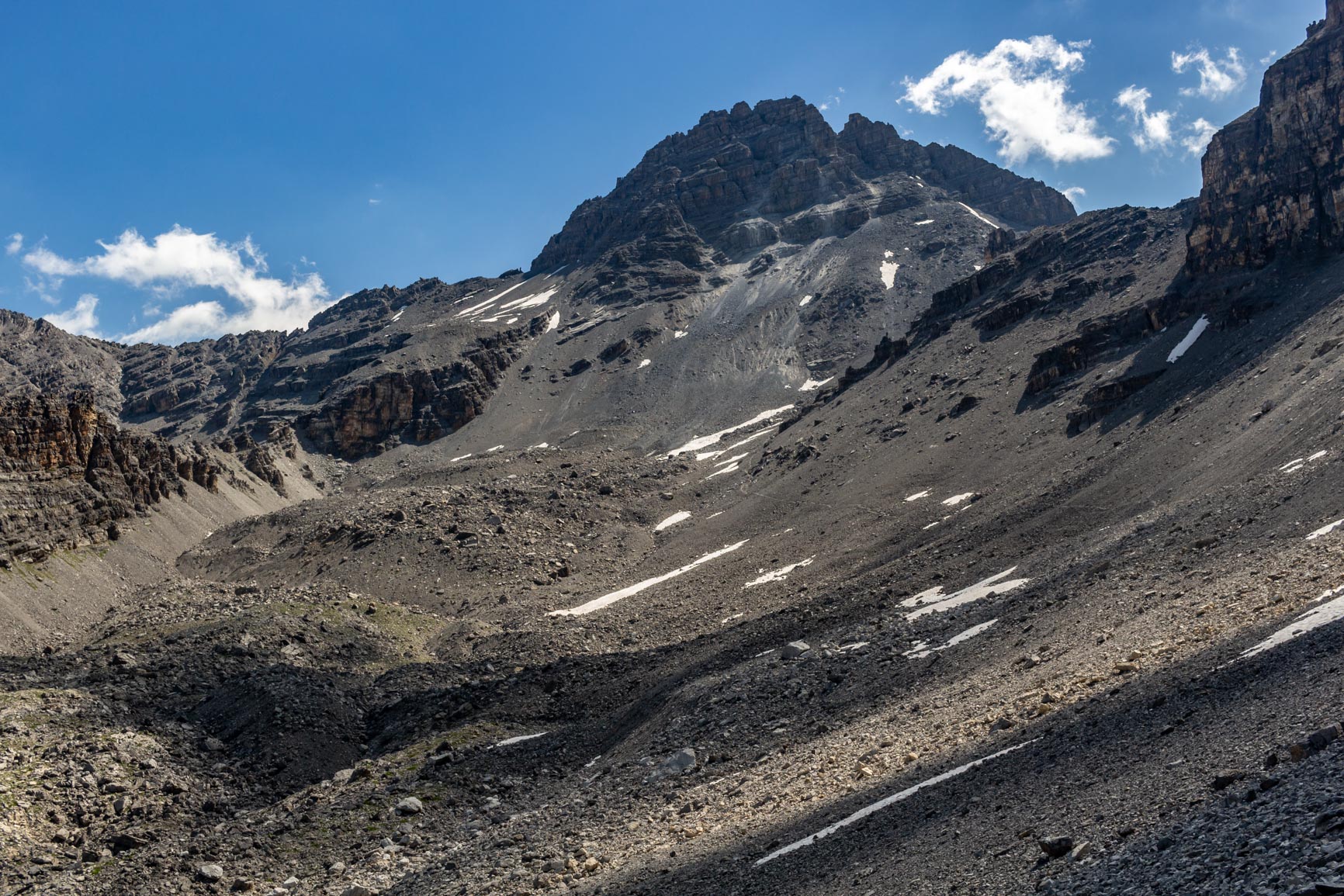
To get there, park at the Col d'Izoard, a 45-minute drive from Briançon. The beginning of the route follows a magnificent balcony path that traverses the slopes of the large cirque below the Pic de Rochebrune. This section is easy but involves some scree. The actual ascent of the peak begins at the Col des Portes. Several routes lead there and are described in the guidebook.Altituderando corresponding where you can also find the GPX track of the route.
In conclusion
These five hikes around Briançon are just a glimpse of the natural and alpine riches of the Hautes-Alpes. Whether you're looking for a leisurely stroll through the mountain pastures, a trip to isolated villages like Dormillouse, or a more challenging experience like climbing the Pic de Rochebrune, this region has something for every mountain enthusiast.
I chose these routes for their diversity, their beauty, and the spirit they evoke. I've hiked them all, and they truly represent, in my opinion, the best hikes you can do near Briançon. If you'd like to discover other hiking suggestions, see my mountain photographs, or order a... art print of my photos taken along my treks, do not hesitate to explore the rest of my site Photagne.
Some of the images on this page come from Wikimedia Commons, licensed under CC BY-SA 4.0.


 FR
FR  EN
EN  IT
IT
0 Comments